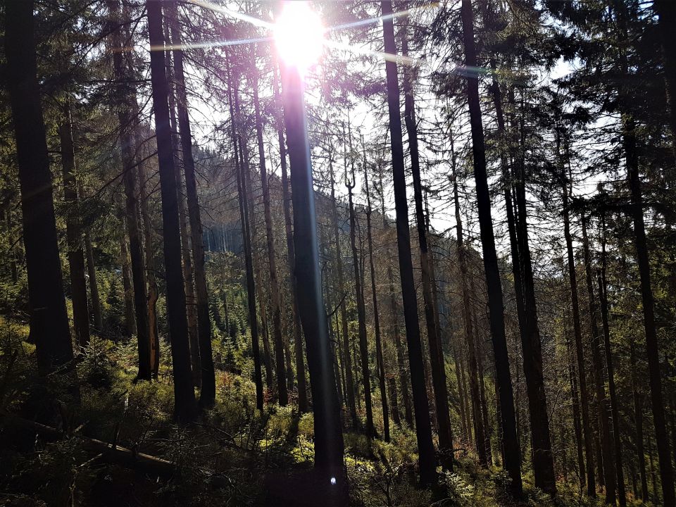
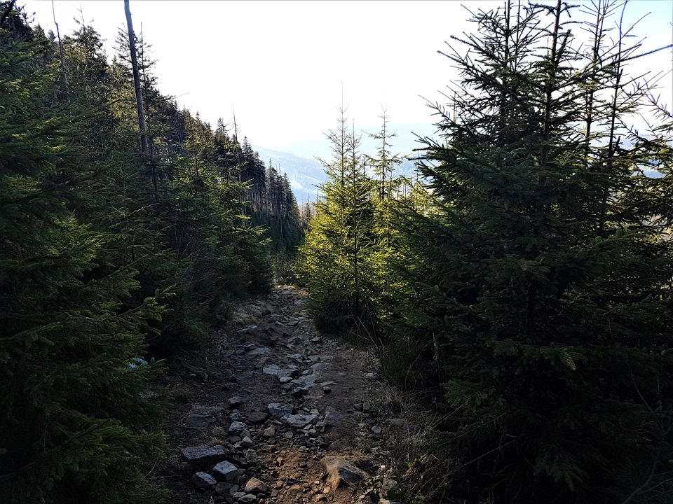
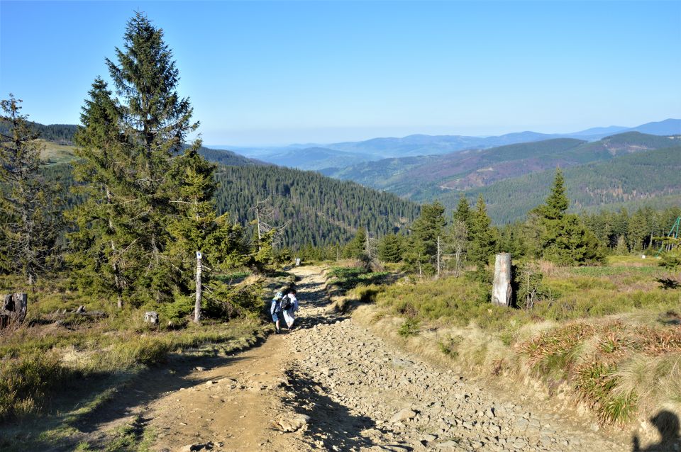
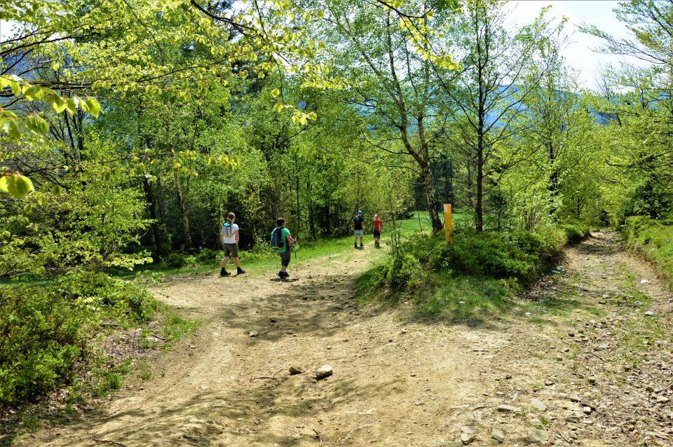
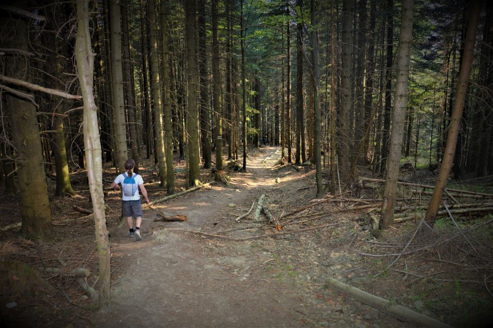
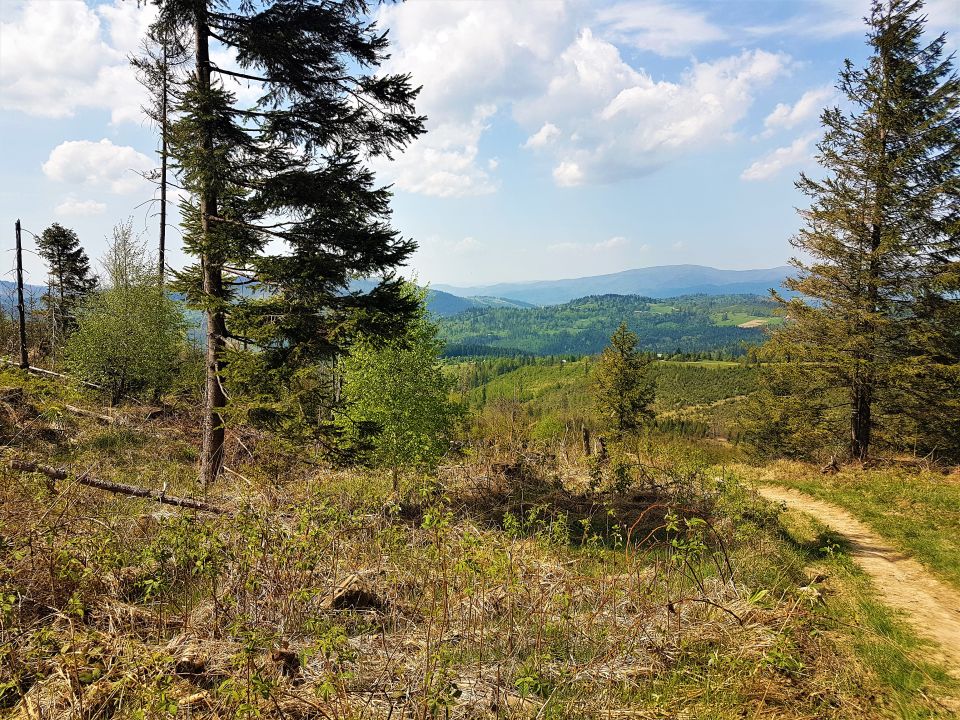
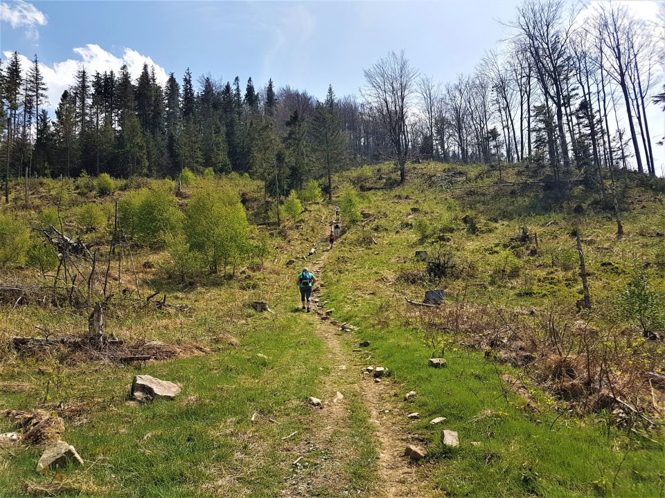
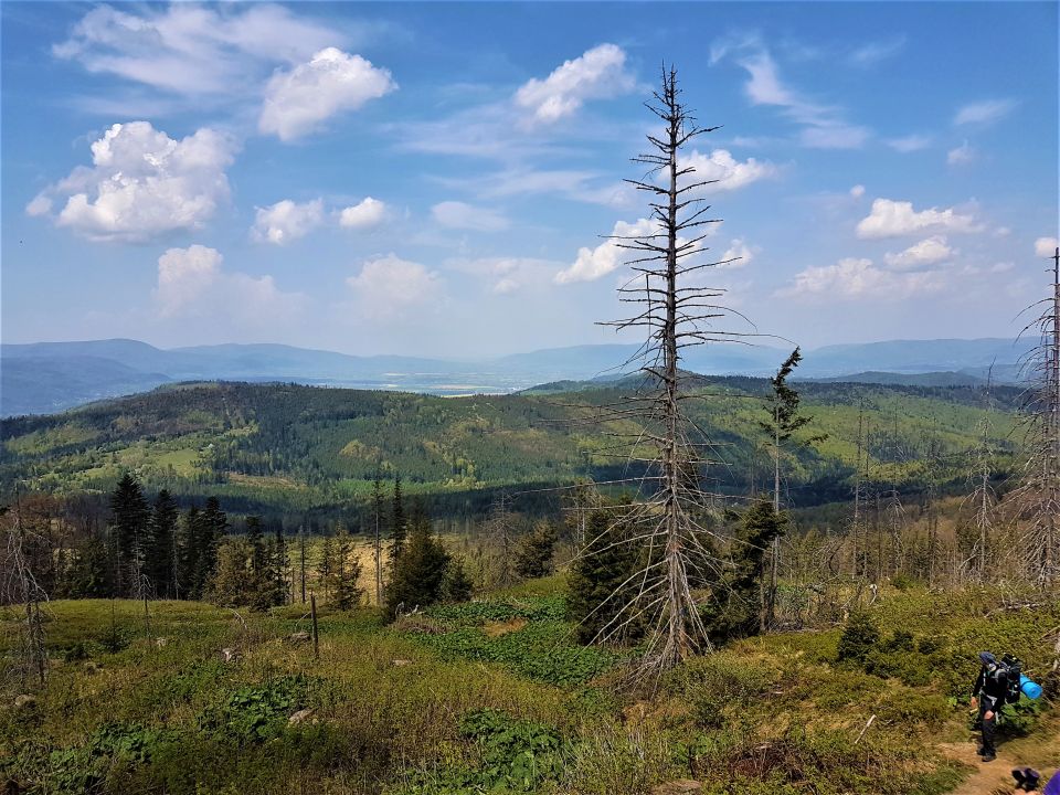
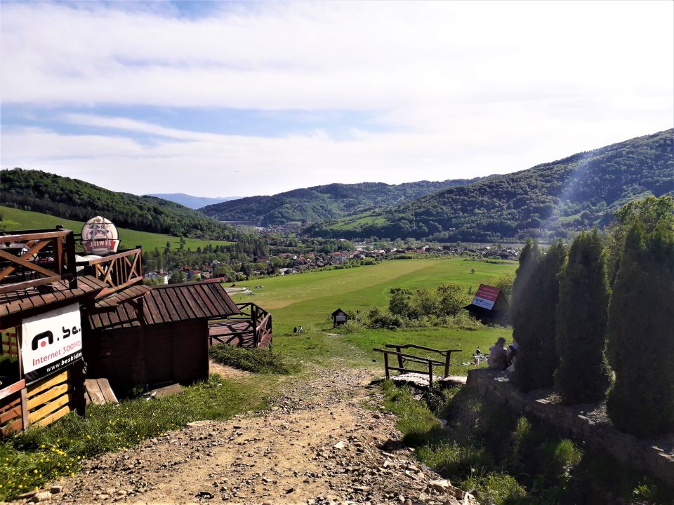
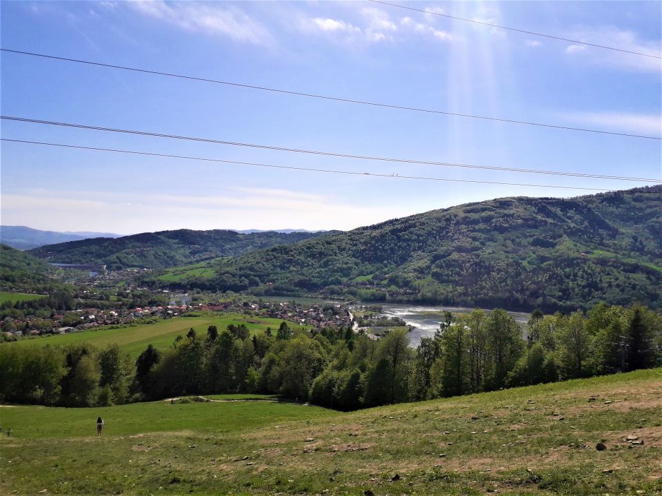
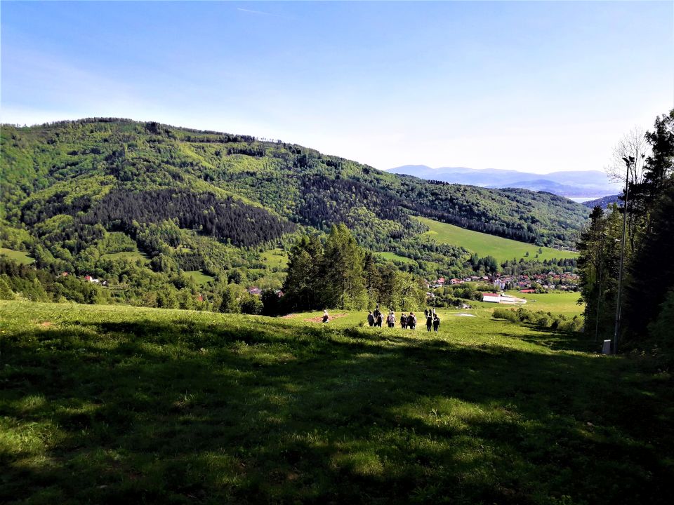
The commune of Węgierska Górka is an excellent starting point for various mountain excursions of various levels of advancement.
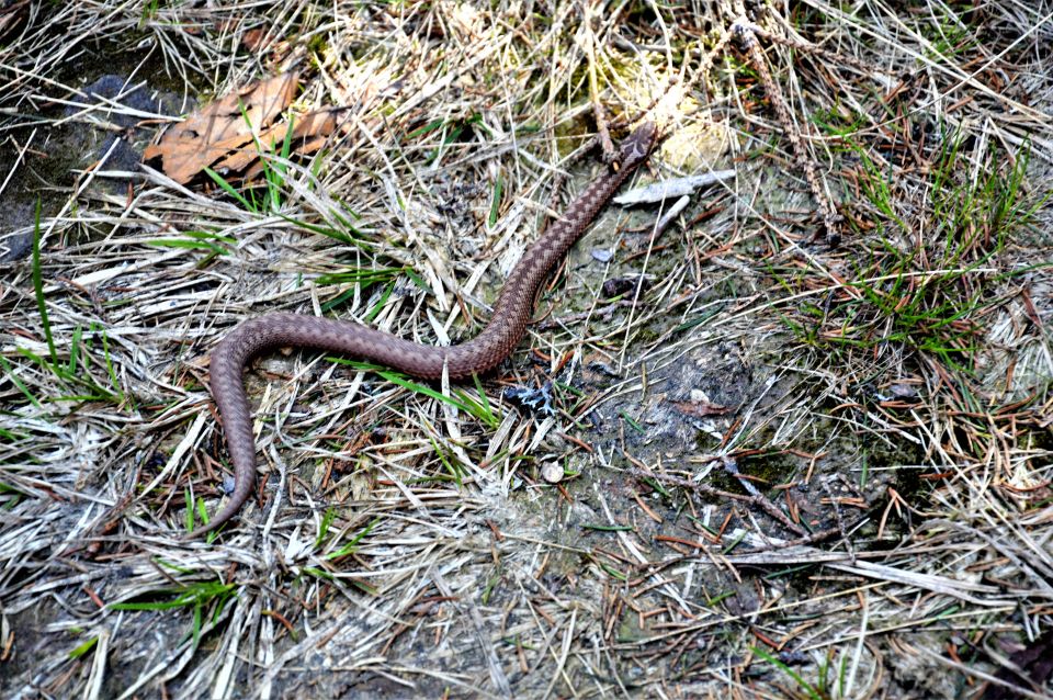
We can go to beautiful places, admire the scenery and enjoy a close encounter with nature 🙂

We recommend several places:
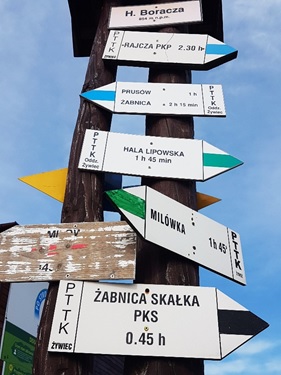
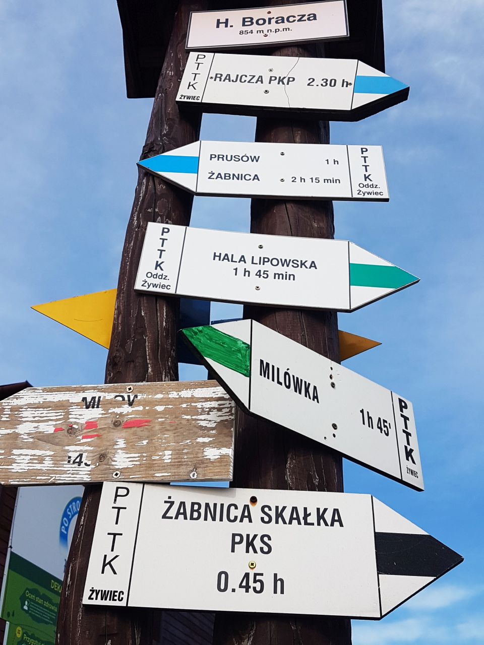
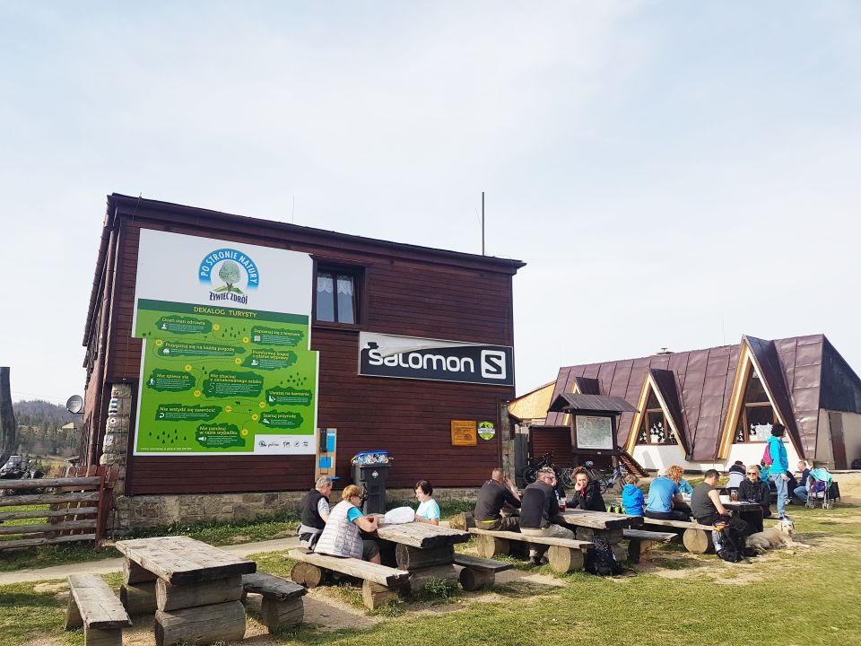
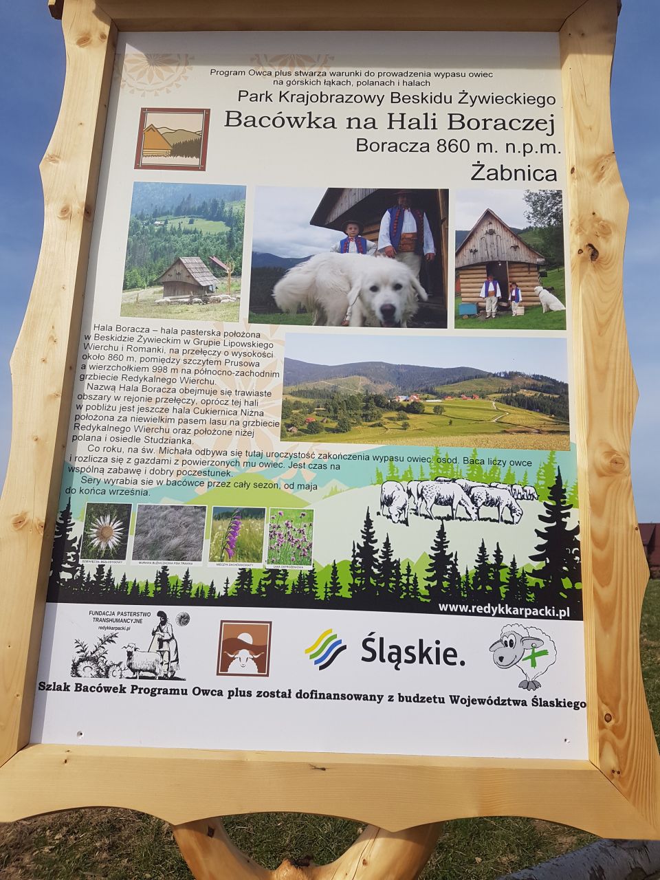
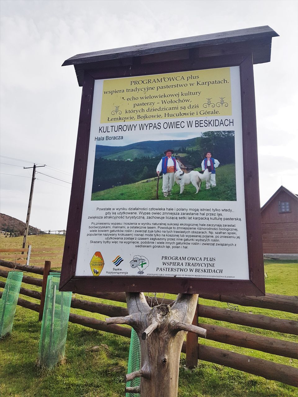
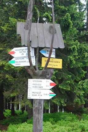
BORACZA HALL – PTTK SHELTER
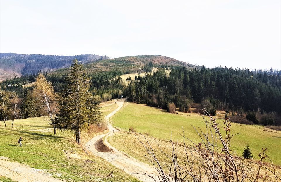
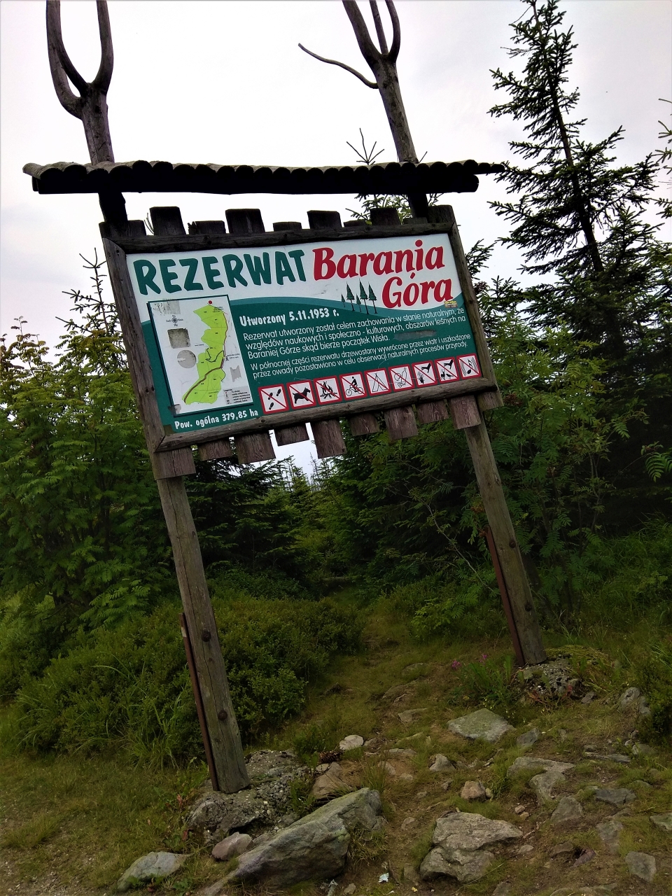
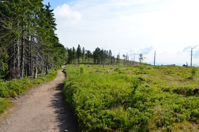
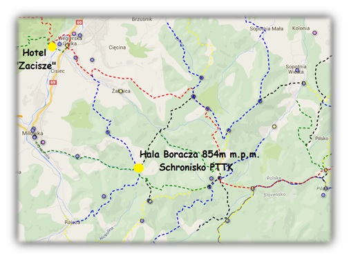 A shepherd's hall located in Beskid Żywiecki in the Lipowski Wierch and Romanki Group, between the peak of Prusów (1010 m) and the vertex 998 m on the north-west ridge of Radykalny Wierch. Hala occupies the saddle of this pass, it also descends quite low in the north-eastern direction to the Żabniczanka valley and in the west to the Milowski Potok valley.
 |
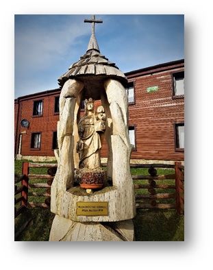 |
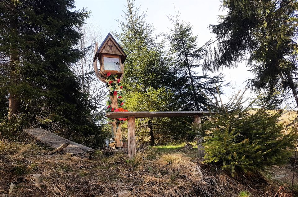
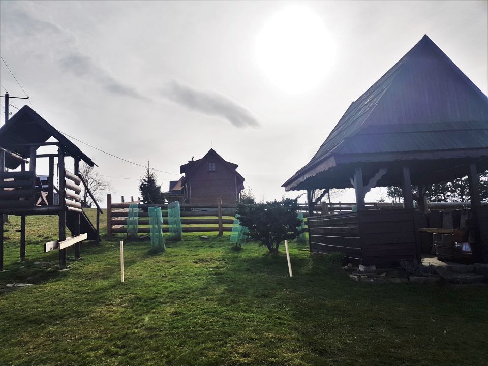
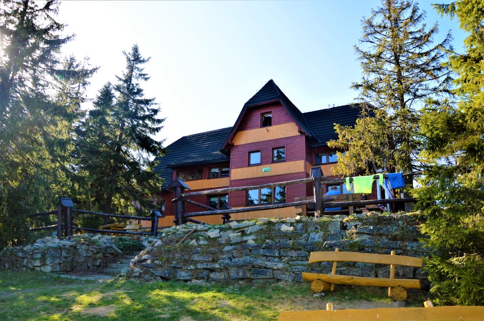
In the hall there is a small housing estate administratively owned by Żabnica and the PTTK shelter on Hala Boracza. It was built in 1928 by the Jewish sports organization "Makkabi". Rebuilt in 1932 after the fire (according to another version, a new facility was built, because the old one was too small), during the occupation, partially plundered by the Germans, then abandoned. From 1946 made available to tourists again. In years 1968-1970 has undergone a major renovation. In the fall 2008 r. the facade of the shelter was replaced with a wooden one.
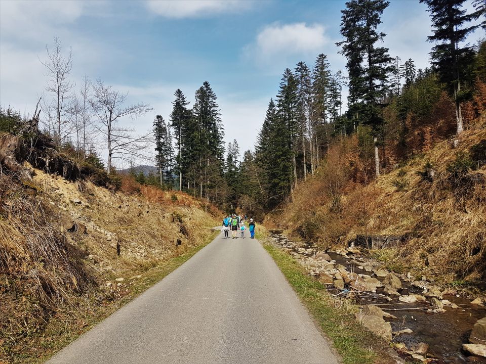
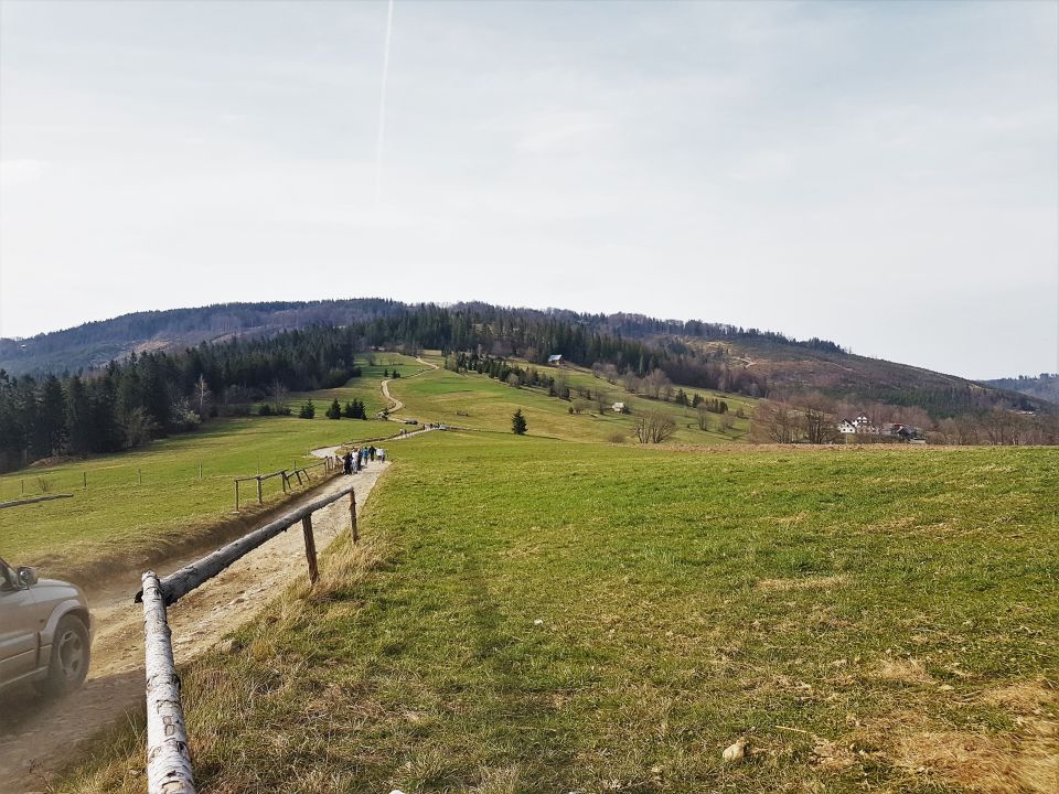
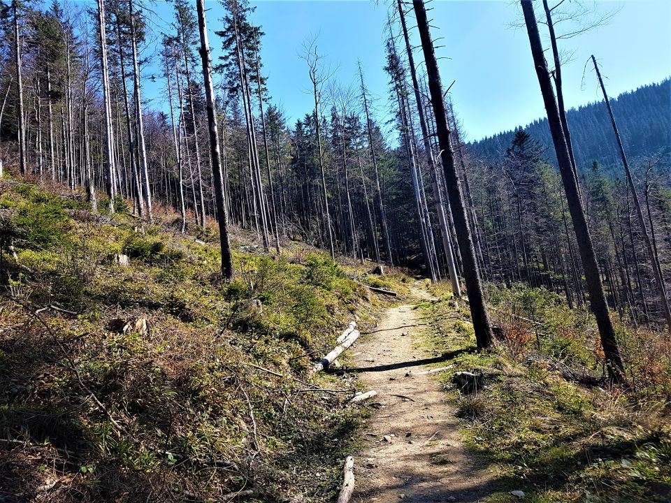
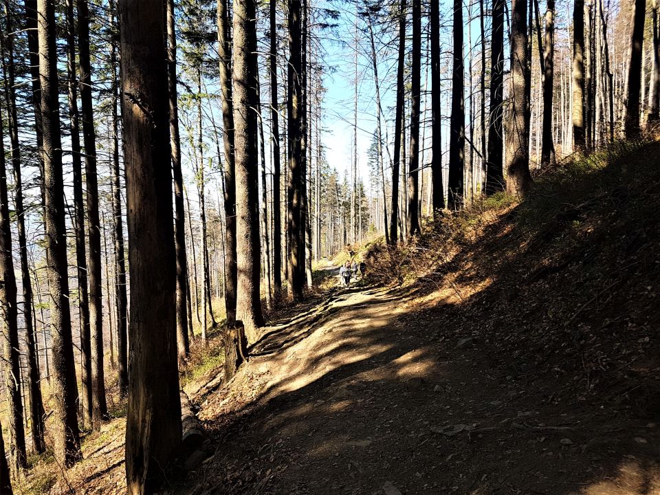
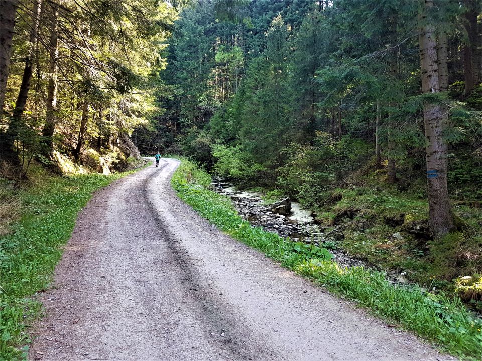
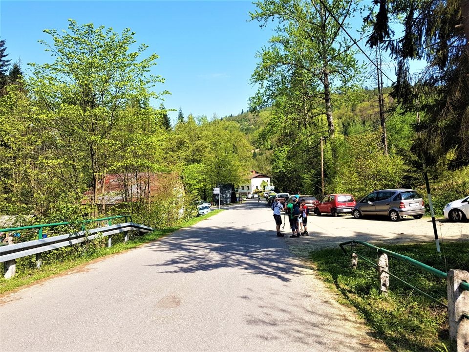
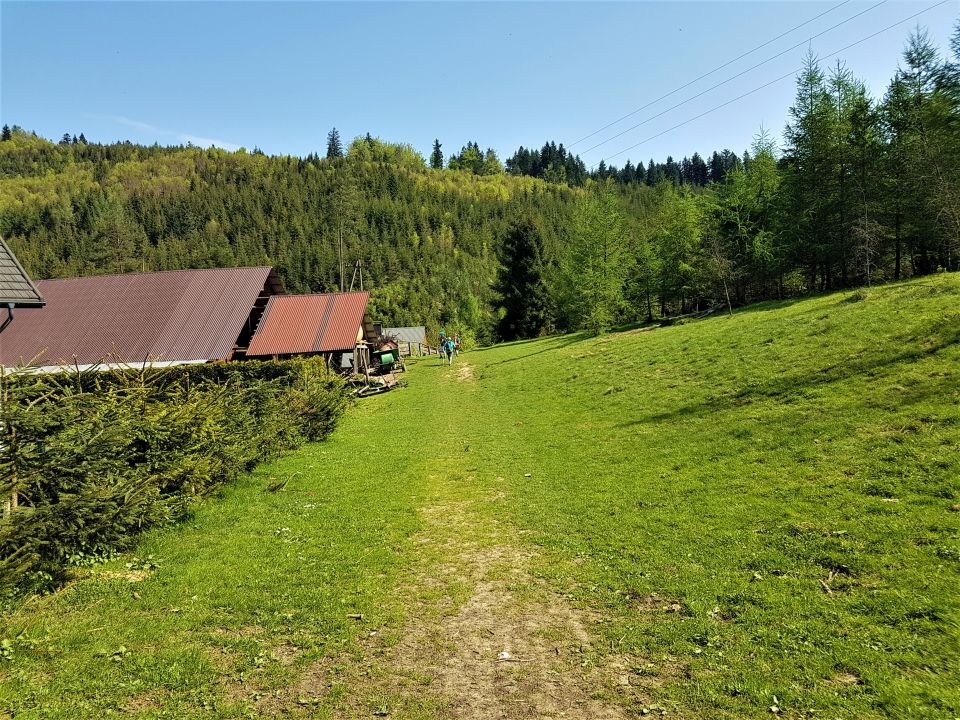
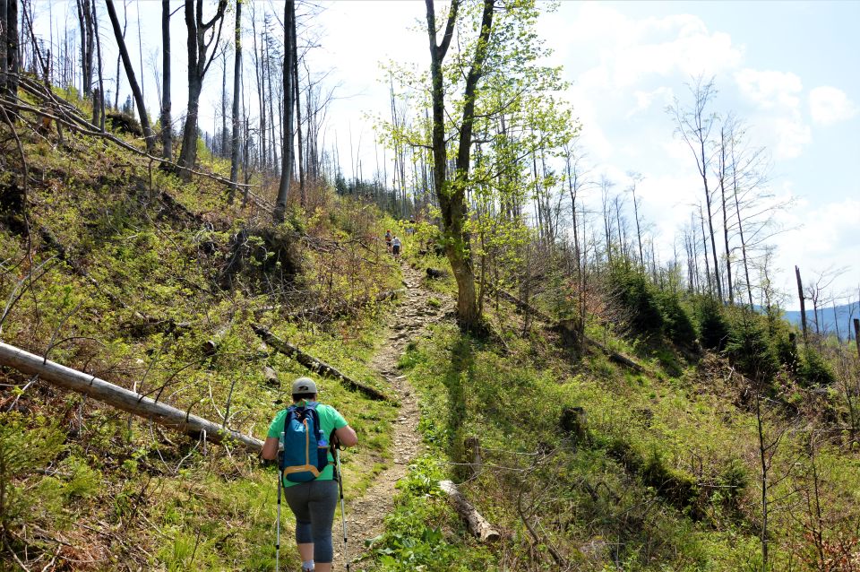
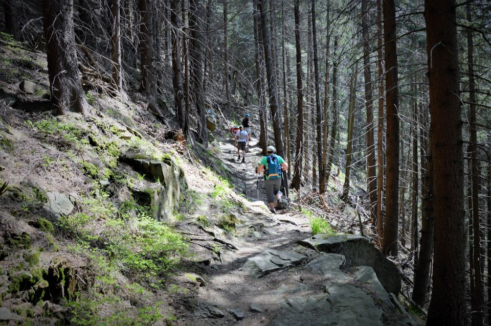
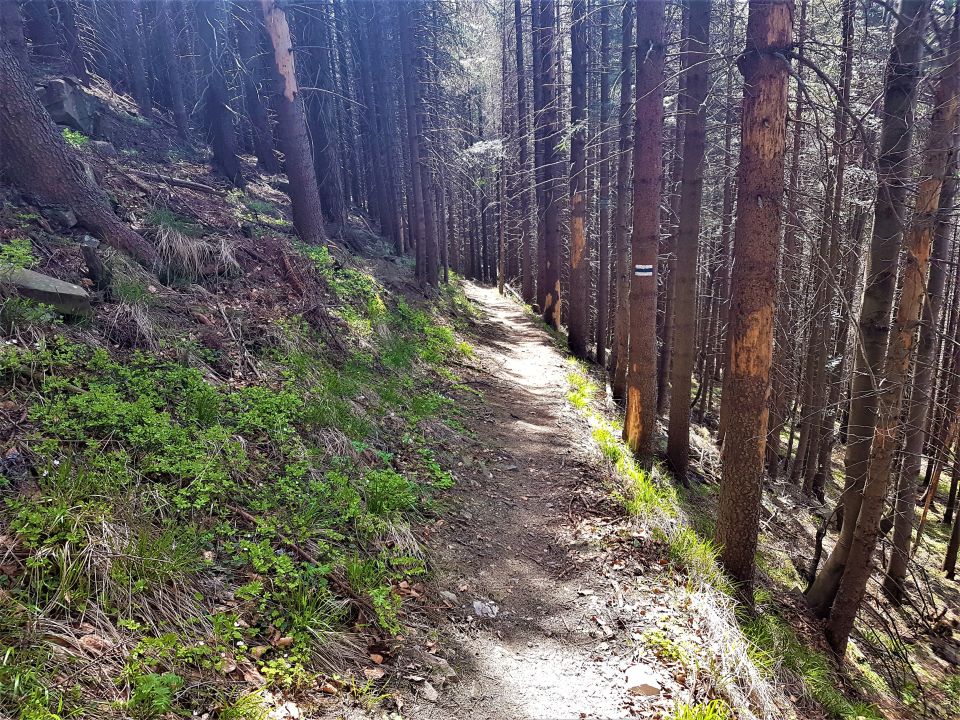
The simplest and shortest way, leading to Hala Boraczą (ok 1h) there is the Black Trail from Skałka in Żabnica. Access from the Hotel to Żabnica is approx. 15 minutes by car.
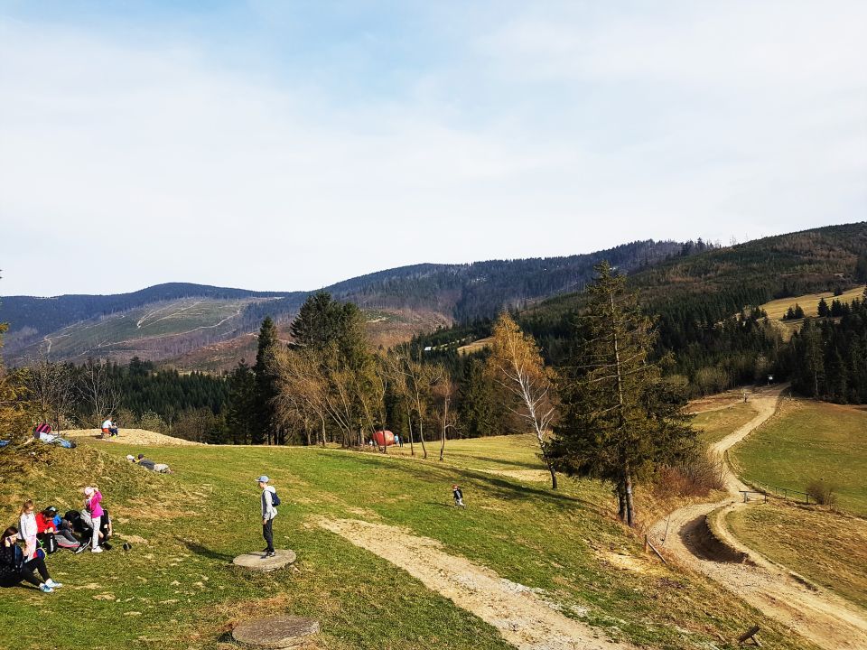
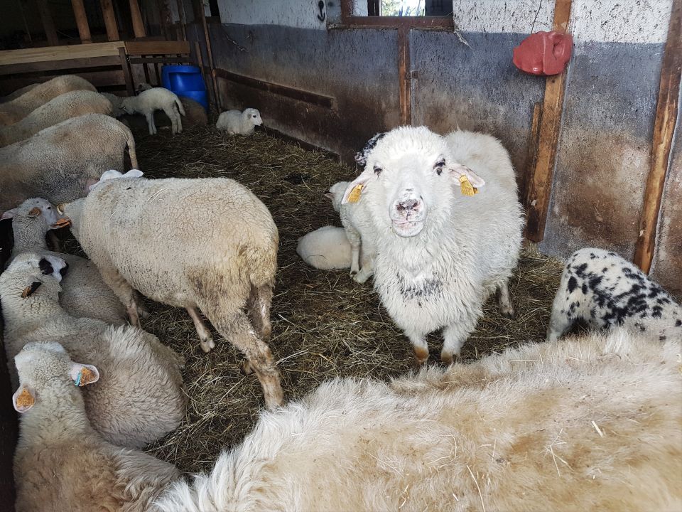
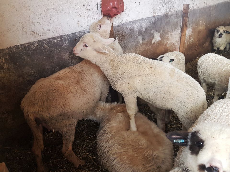
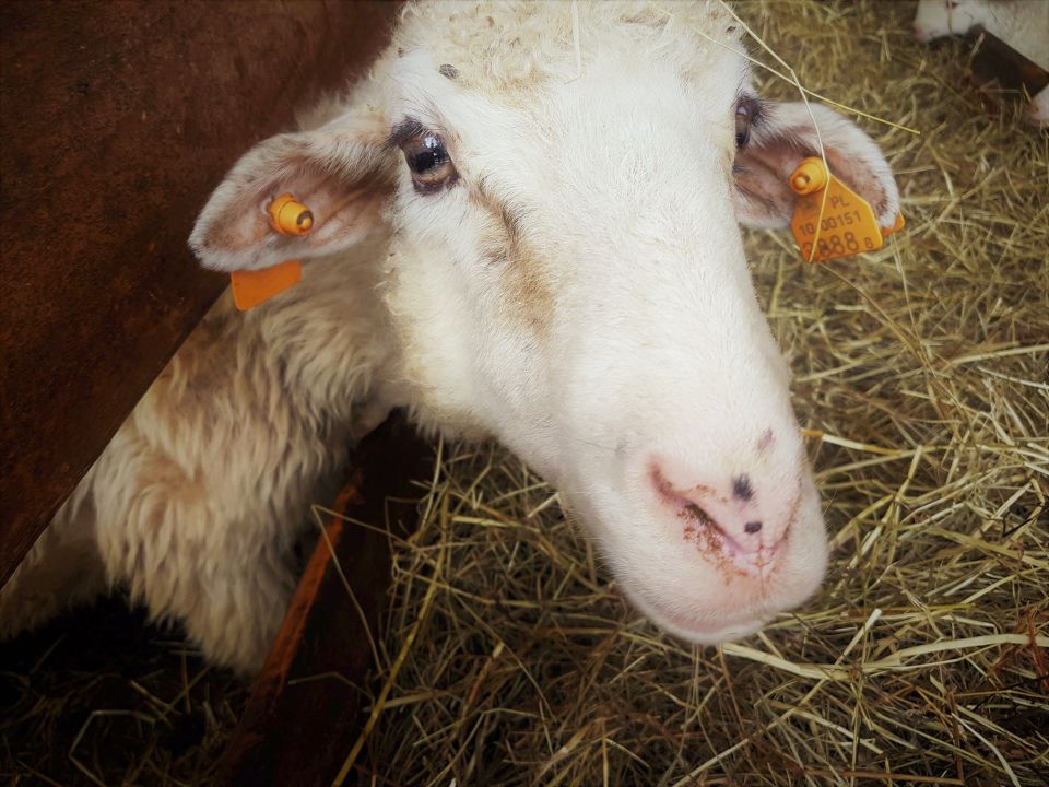
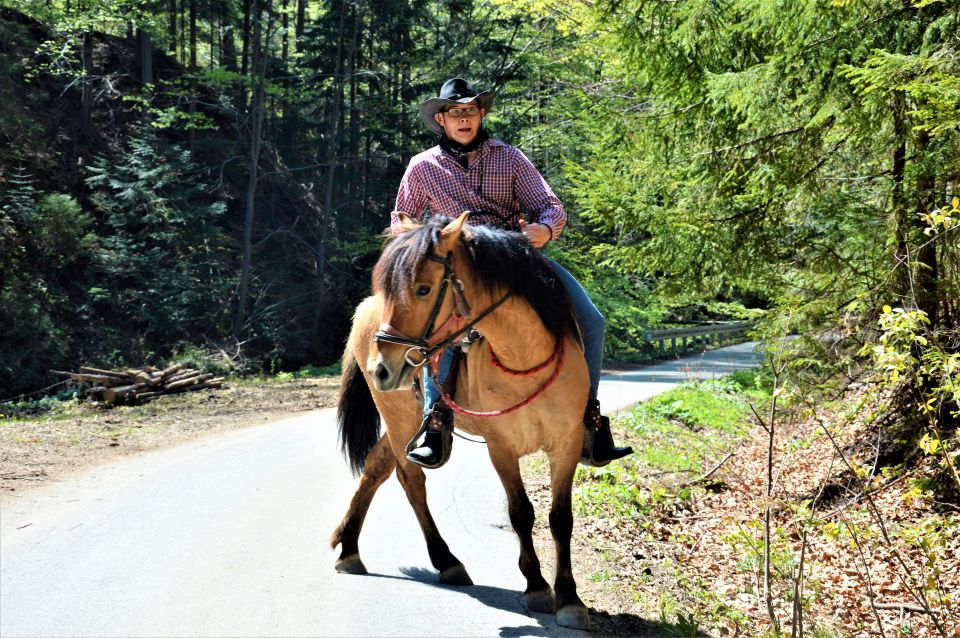
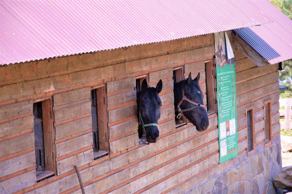
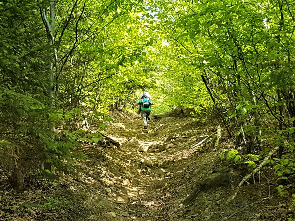
A trip to Hala Boraczą is one of the calm and easy routes of Beskid Żywiecki. We can enjoy the beauty of the region here, and take advantage of the hospitality of the hostel, and above all, to ease the palate: try great and delicious blueberries, which this hostel is famous for. Because it is one of the lowest shelters, and access to it by car is not a major problem for the local population, numerous mountain-themed events take place there: Top playing, action "My strong tree", Bieg Gazdy, Tourist horse festival, Hubertus (hunting club party) and many other interesting regional events.
Hala Boracza is also one of the best starting points for the surrounding mountain ranges, such as: Romanka, Lipowska, Rysianka, Redykalny Wierch, Pilsko.
More difficult and longer variants of the route to Boraczą:
- Length of the entire route and time of walking: 19,2 km / 5h 45 min
The beginning of the route : Hotel “Retreat”
End of the tour: Hotel “Retreat”
Entry: trail (40 min) + trail
  (2 h 30 min) |
Descent: trail (2 h) +trail (35 min) - Length of the entire route and time of walking: 16,5 km / 5 h 05 min
The beginning of the route : Milowka
End of the tour: Hotel “Retreat”
Entry: trail (2 h 30 min)
Descent: trail (2 h) +trail (35 min)


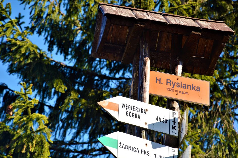
RUSSIA (1 322 m.n.p.m)
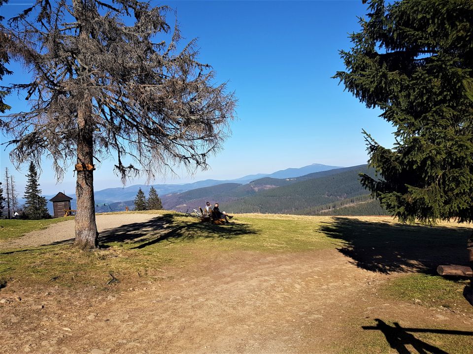
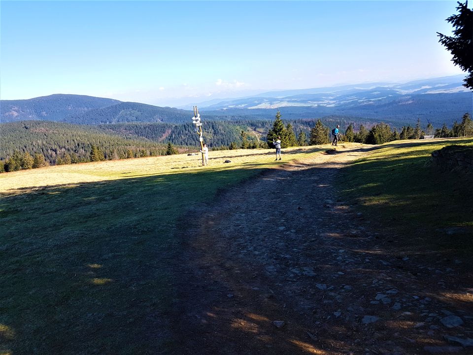
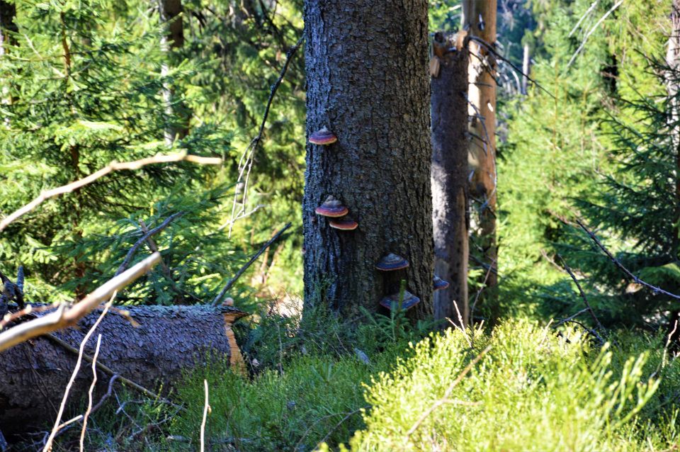
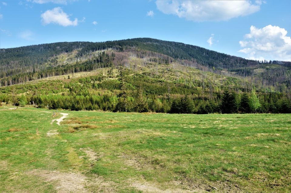
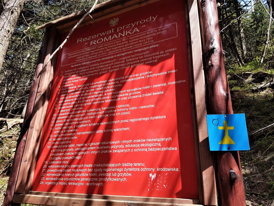
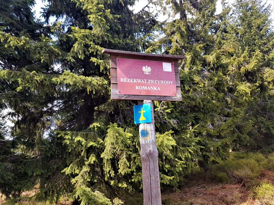
Summit in Grupa Lipowski Wierch and Romanki in Beskid Żywiecki. Rysianka is the keystone for the three ridges. Southeast ridge, through an unnamed pass it joins the Three Mounds in the Pilska Group, The Romanka ridge diverges from it through the Pawlusia Pass, and in the south-west there is a ridge to Redykalny Wierch. With three ridges, Rysianka rises above three stream valleys: Żabniczanka, Bystra and Sopotnia.
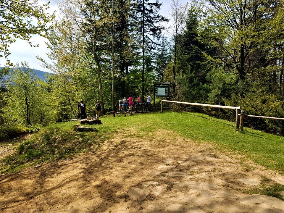
Before reaching the top, we pass two clearings: Koziorka hall (just below the peak on the north side) and the Rysianka hall (large and spectacular, just below the top)
It is in Hala Rysianka where we can visit the PTTK shelter, eat and relax while admiring the beautiful views.
Link to the shelter:
http://www.rysianka.vot.pl/rysianka/web/index.php
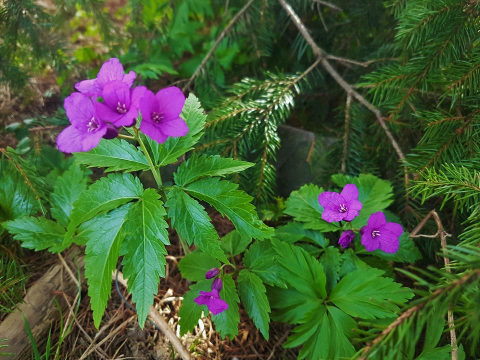
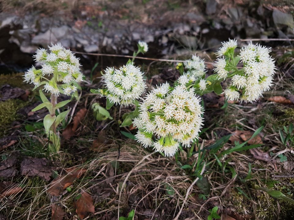
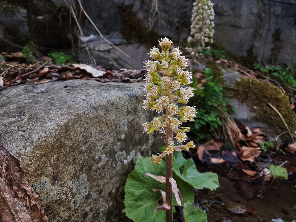
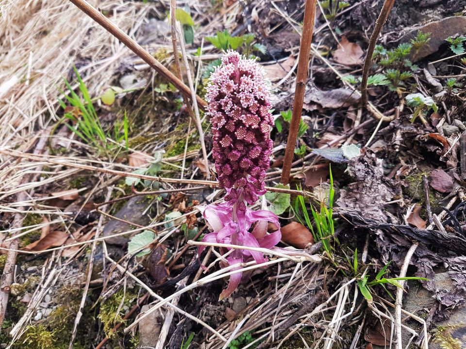
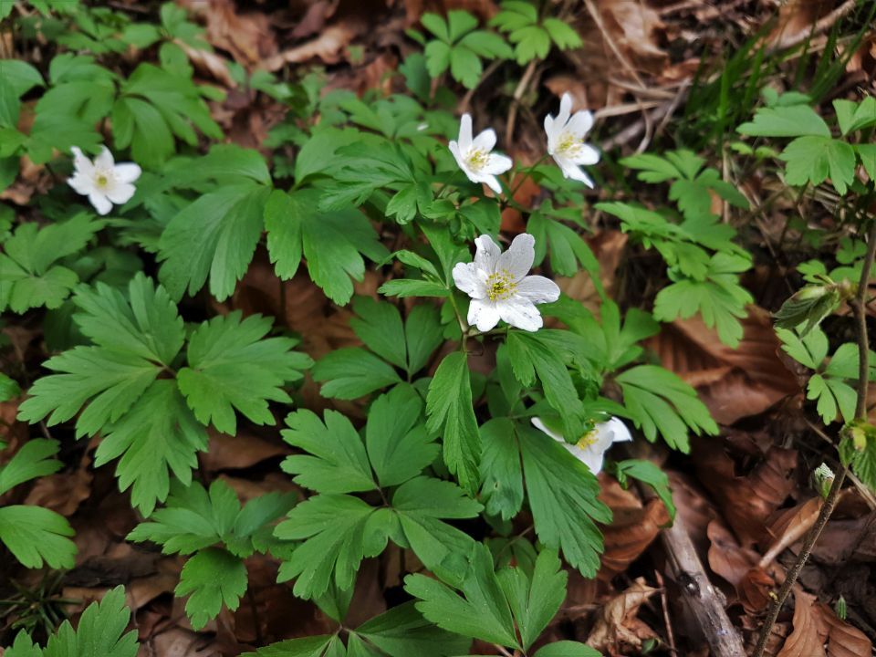
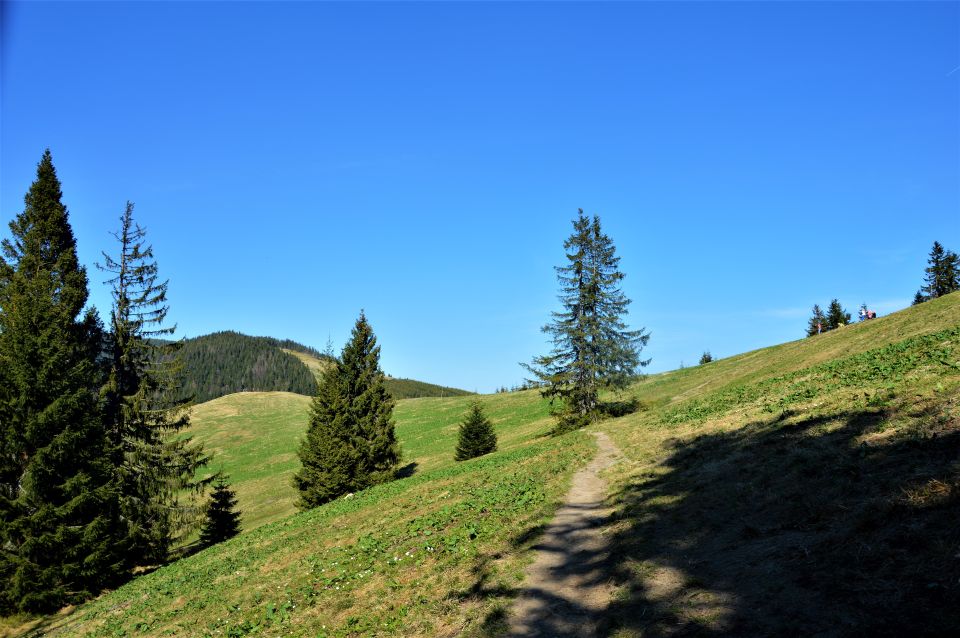
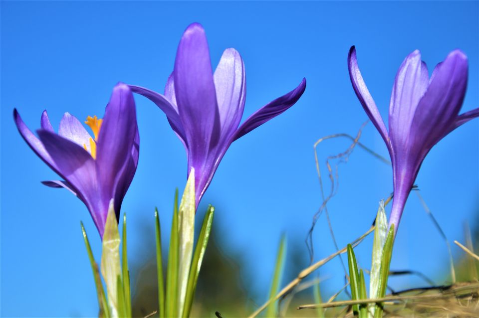
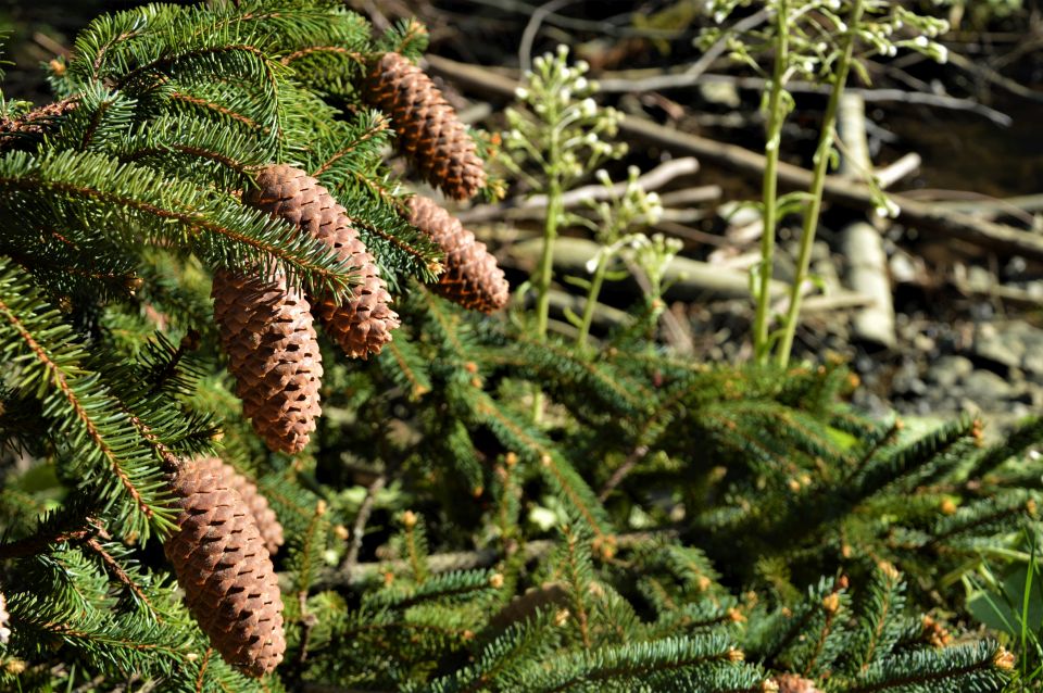
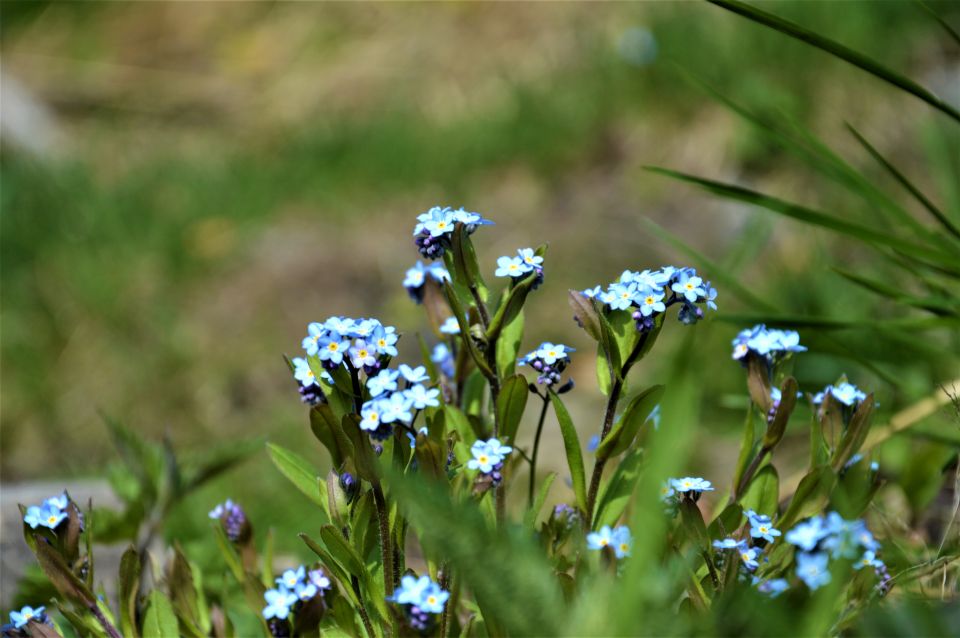
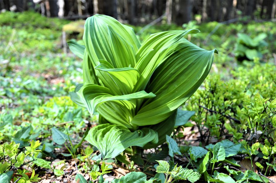
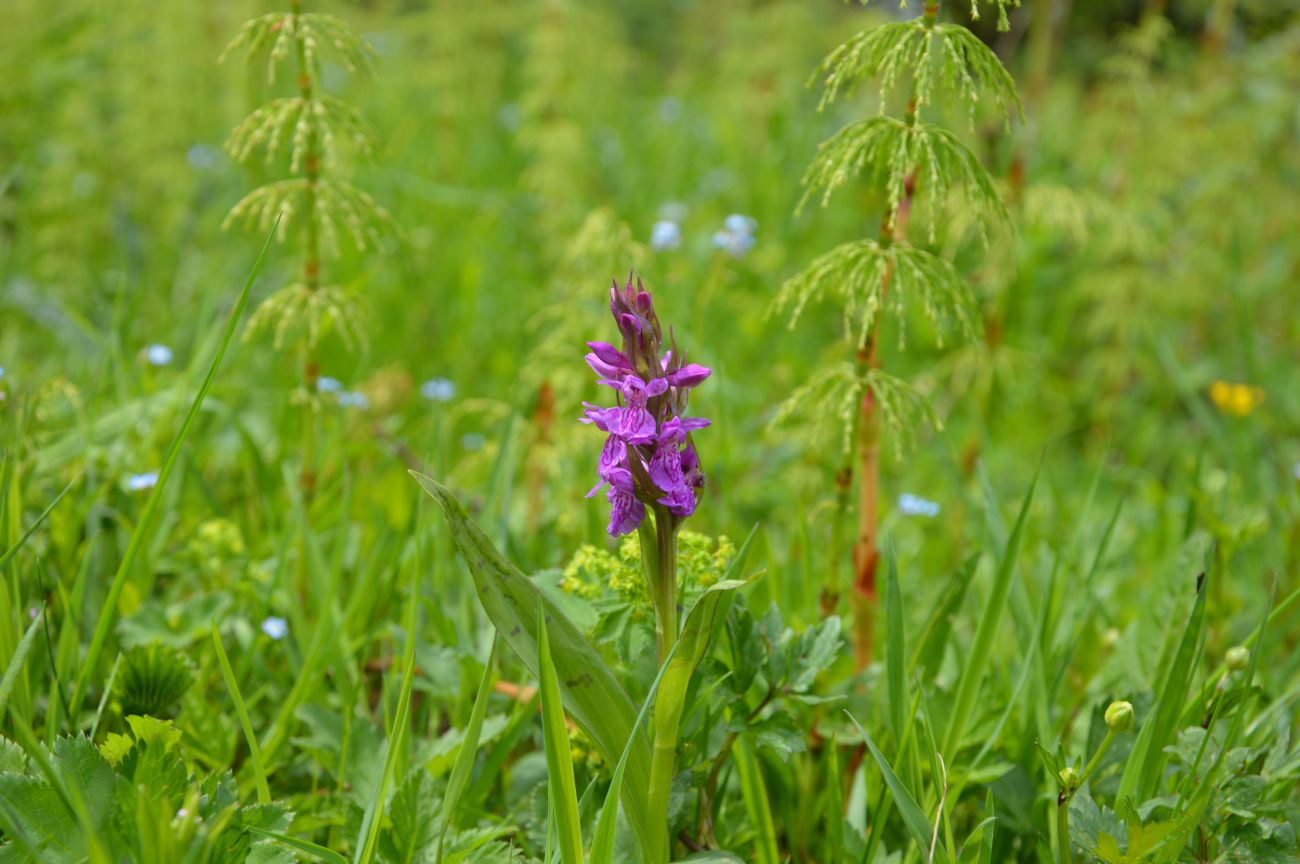
In spring, we can see crocuses in bloom in the vast hall.
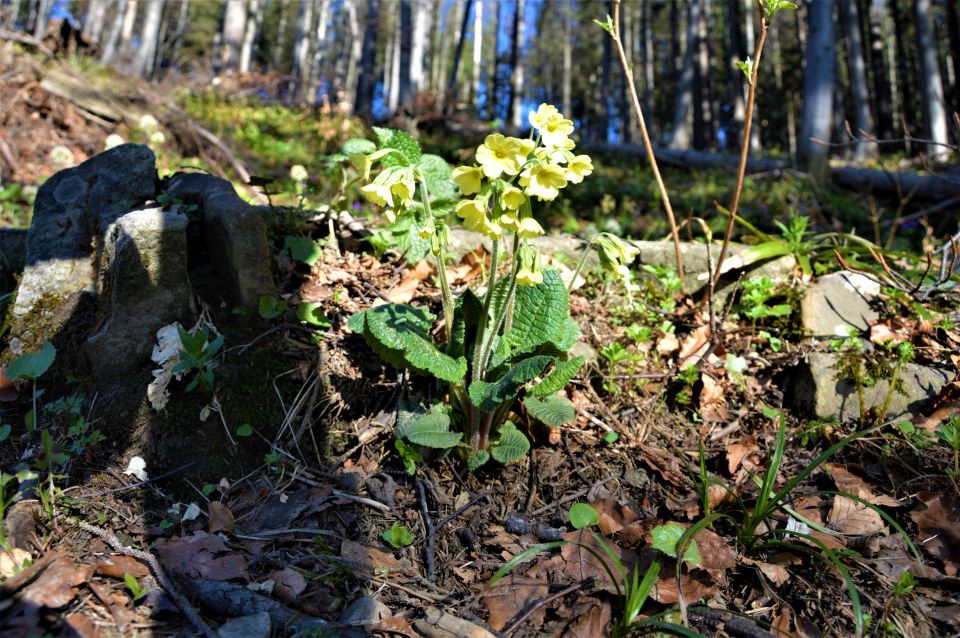
Persistent nature lovers will also find many other rare species of plants and animals here.
Proposed variants of routes:
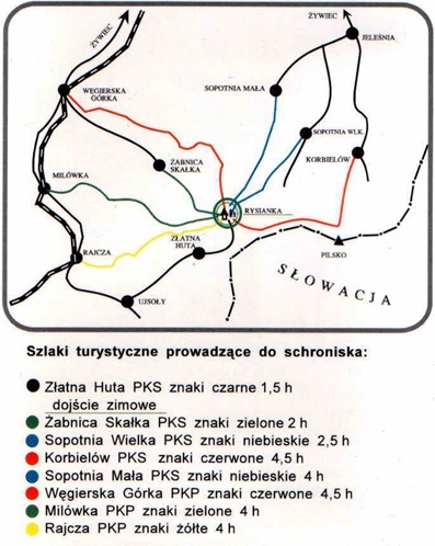
At the beginning, a map was presented, from where and what routes you can go to Rysianka (several options), our suggestion:
![]() Węgierska Górka - Abrahamów - Słowianka hall - Pawlusia hall - PTTK shelter on Rysianka – walking time about 5.5 hours (ok 16 km)
Węgierska Górka - Abrahamów - Słowianka hall - Pawlusia hall - PTTK shelter on Rysianka – walking time about 5.5 hours (ok 16 km)
![]() You can also go to Żabnica Skałka and from there go to Hala Boraczą, then to Rysianka and return by the same route - walking time approx. 5 h (ok. 14 km) + return to Węgierska Górka
You can also go to Żabnica Skałka and from there go to Hala Boraczą, then to Rysianka and return by the same route - walking time approx. 5 h (ok. 14 km) + return to Węgierska Górka
![]() Milowka (Exit) - PTTK shelter on Hala Boracza - Lipowski Wierch - PTTK shelter on Hala Rysianka - Żabnica-Skałka - walking time about 5.5 hours (ok. 14 km) + (access or access to Węgierska Górka)
Milowka (Exit) - PTTK shelter on Hala Boracza - Lipowski Wierch - PTTK shelter on Hala Rysianka - Żabnica-Skałka - walking time about 5.5 hours (ok. 14 km) + (access or access to Węgierska Górka)


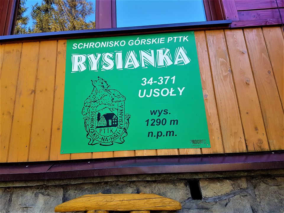

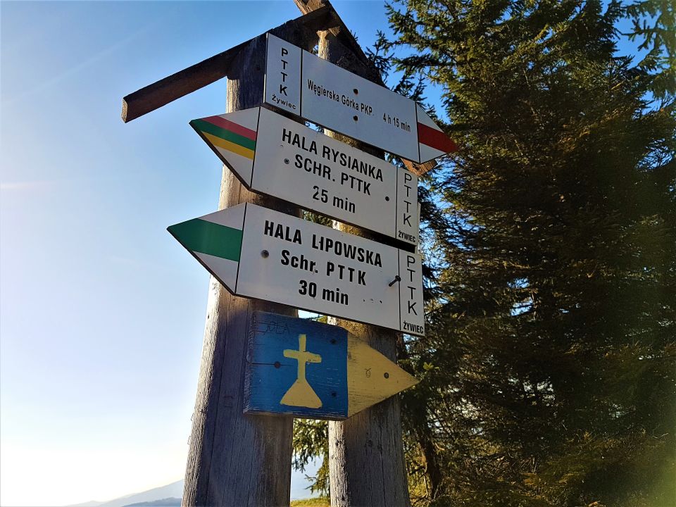


LIPOWSKA HALL (1 324 M.N.P.M.)
A vast clearing on the south-eastern slope of Lipowski Wierch, in the area of Żywiec Landscape Park.
Once used as a shepherd, hence the traditional name "hall", however, it has nothing to do with the hall as a plant floor in the mountains. Below the bottom, The second one is located on the south-eastern end of Hala Lipowska, a clearing adjacent to it – Toczysko. Currently, both of these clearings are jointly named Hala Lipowska.
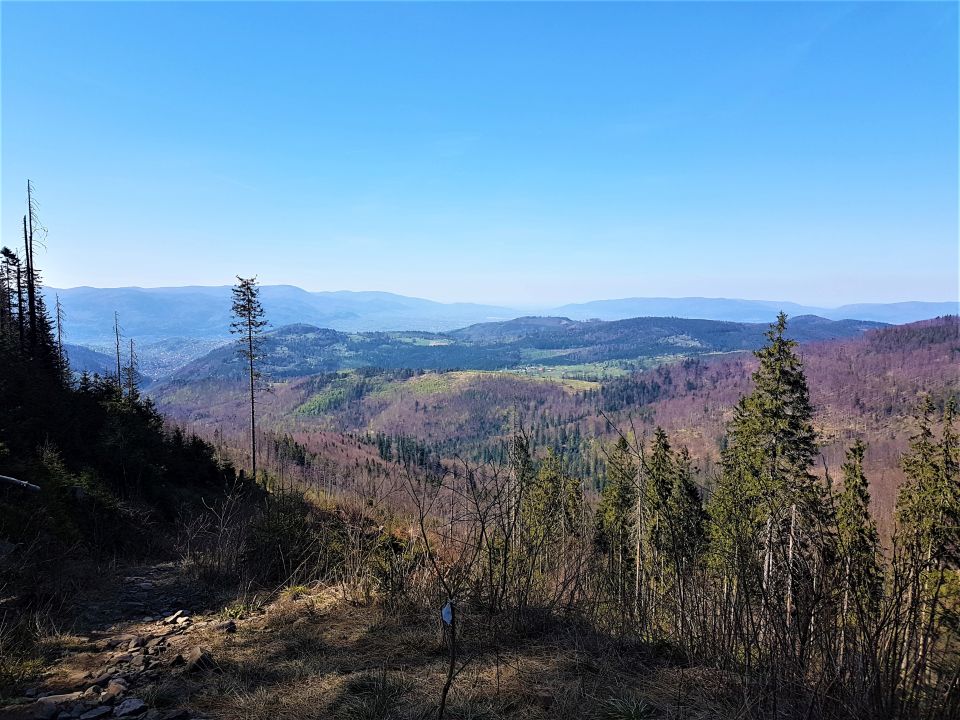
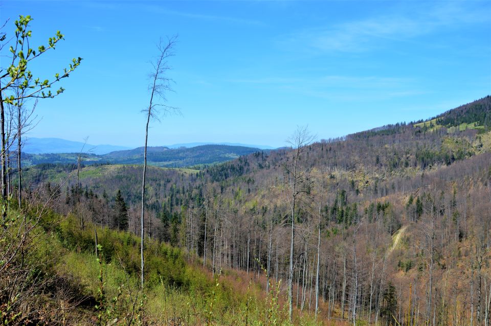
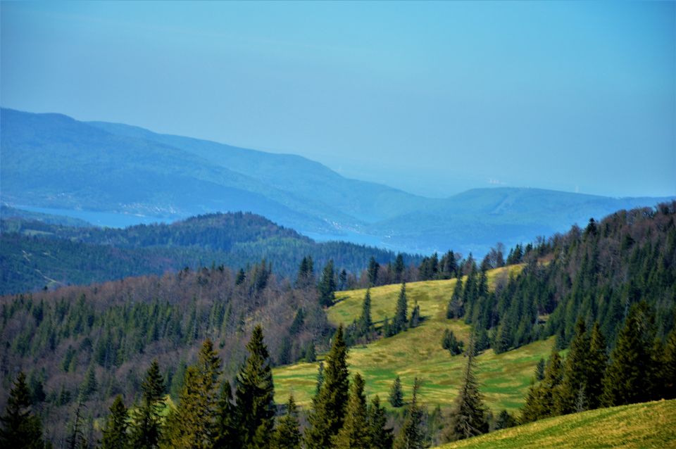
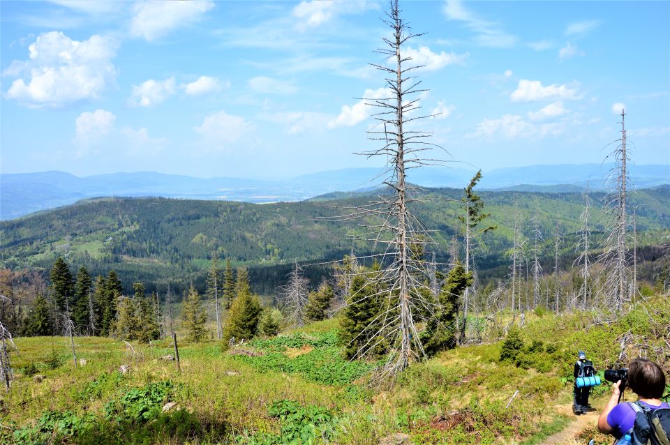
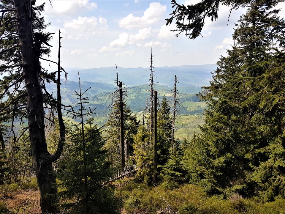
We can admire excellent views from the clearing, including the Tatra Mountains, Mala Fatra and Beskid Żywiecki.
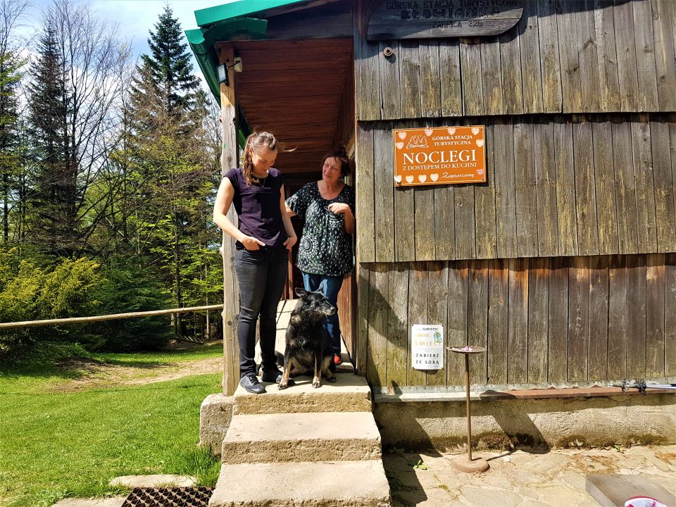
There is a PTTK hostel in the hall (1 290 m.n.p.m), perfect for a break and relaxation. It was built in the 1930s.
Proposed routes:
![]() From Hala Boracza: 2h ↓ 1,30h / access to Żabnica (ok 15 min) and the entrance to Hala Boraczą about 1 hour
From Hala Boracza: 2h ↓ 1,30h / access to Żabnica (ok 15 min) and the entrance to Hala Boraczą about 1 hour
![]() From Rajcza through Hala Redykalna: 3,20h ↓ 2,50h / access to Rajcza approx 20 min
From Rajcza through Hala Redykalna: 3,20h ↓ 2,50h / access to Rajcza approx 20 min
![]() From Hala Rysianki: 0,15h, ↓ 0.15h
From Hala Rysianki: 0,15h, ↓ 0.15h
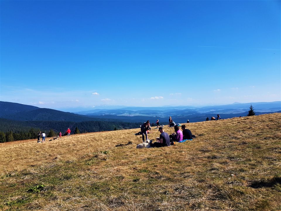
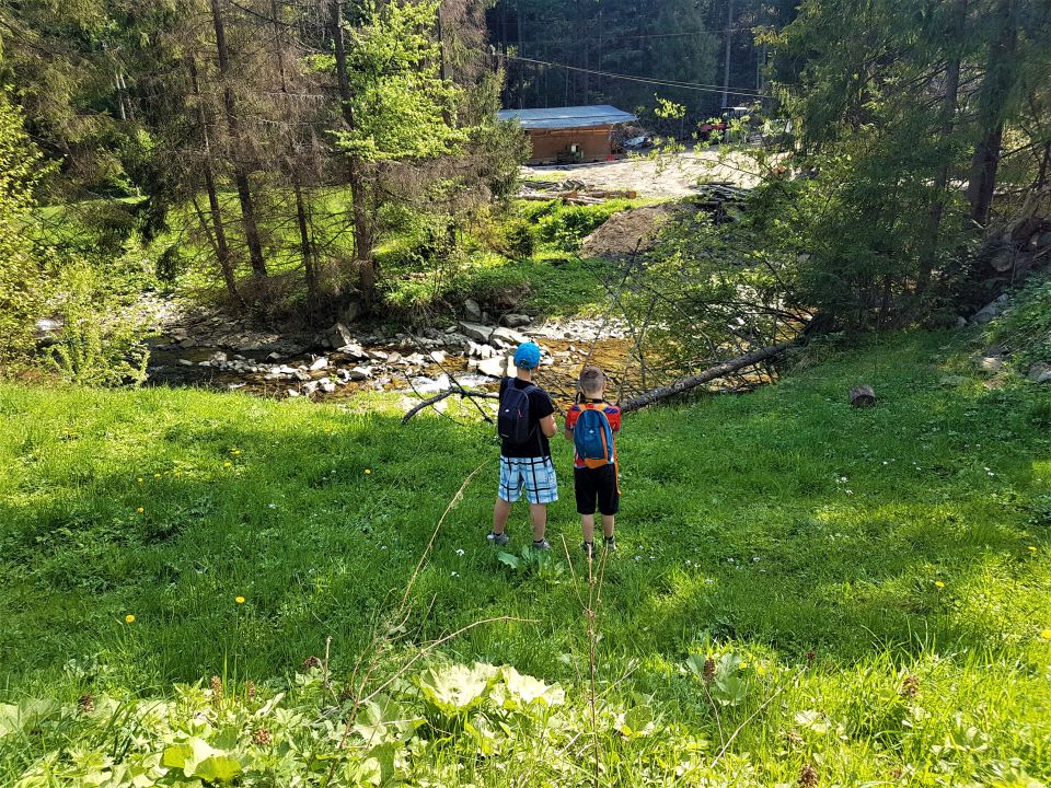
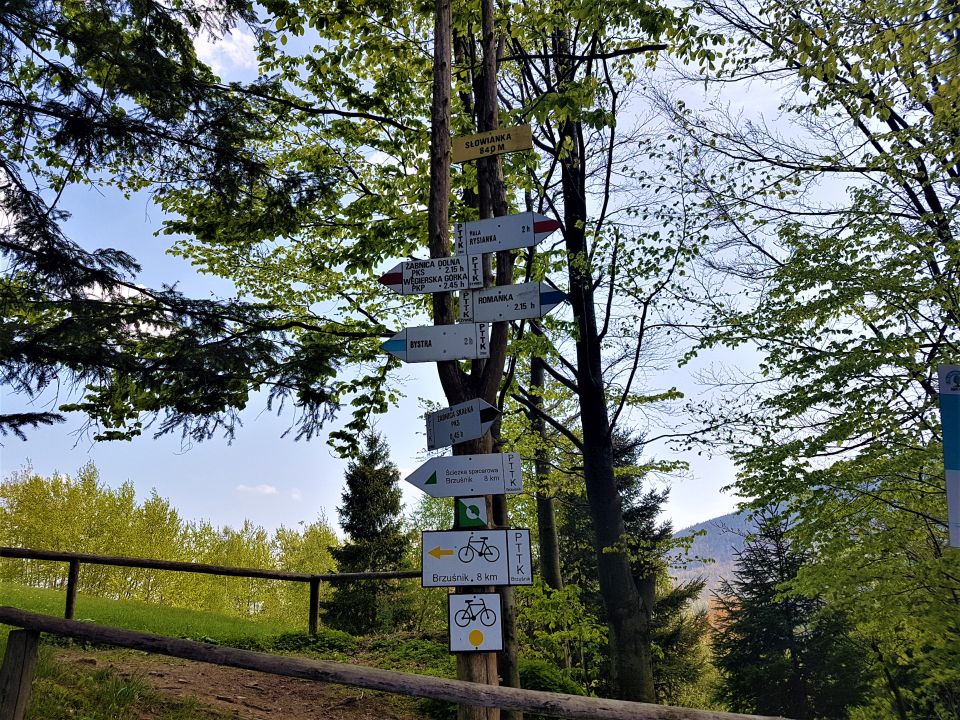
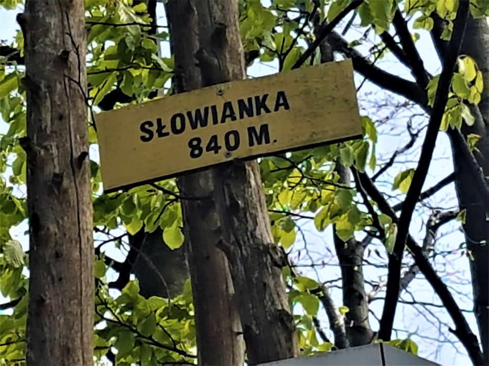
SŁOWIANKA (856M.N.P.M)
A great starting point. Słowianka is a perfect place for people of all ages, with great views and easy route.
The shelter is picturesquely situated in the Beskid Żywiecki on Hala “Słowianka” from which there is a view of the Romanki Massif. Surrounded by spruce forests – beech – fir trees with undergrowth rich in many plant species.
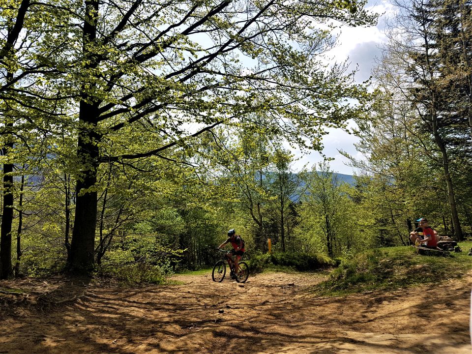
Interesting, mountain landscape, lush vegetation, make this most unspoiled area a great holiday destination. Słowianka lies on a weave of marked mountain bike routes. It is a vantage point with a unique panorama of the Romanesque, Hala Pawlusia and Rysianka.
From Słowianka you can plan further trips, because it is a perfect junction connecting various mountain routes 🙂
- Romanka (1366 m n.p.m.) ok. 1,5 time.
- Rysianka (1322 m n.p.m.) ok. 2,25 time.
- Lipowska (1324 m n.p.m.) ok. 2,5 time.
- Three Mounds (1216 m n.p.m.) ok. 3 time.
- Pilsko (1557 m n.p.m.) about 4.5 hours.
- Hala Boracza approx. 1,5 time.
- Żabnica Skałka approx. 45 min.
- Węgierska Górka approx. 2 time.
Proposed routes:
![]() black: Żabnica Skałka - Hala Słowianka (entrance approx 1,15 h) + descent or further Tourist Station Słowianka - Hala Słowianka - Hala Majerkowa - Romanka: 2,5h trail:
black: Żabnica Skałka - Hala Słowianka (entrance approx 1,15 h) + descent or further Tourist Station Słowianka - Hala Słowianka - Hala Majerkowa - Romanka: 2,5h trail: ![]()
![]() Red: Węgierska Górka - Abrahamów - Słowianka hall - Pawlusia hall - Rysianka hall (Main Beskid Trail)
Red: Węgierska Górka - Abrahamów - Słowianka hall - Pawlusia hall - Rysianka hall (Main Beskid Trail)
![]() bike tracks: Żabnica - Słowianka - Cięcina - Żabnica hall.
bike tracks: Żabnica - Słowianka - Cięcina - Żabnica hall.
Link to the tourist station:
http://www.slowianka.beskidy.info.pl/
Słowianka


Romanka


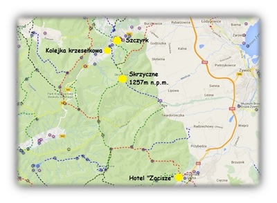
SKRZYCZNE - PTTK SHELTER (1 257m.n.p.m.)
The highest peak in the mountain group of Beskid Śląski in the Outer Western Carpathians in Poland. As the highest peak of the Silesian Beskids, Skrzyczne belongs to the Crown of Polish Mountains.
Skrzyczne rises in the north-eastern part of the Silesian Beskids, in the side arm of the Barania Góra range, branching off the main trunk of the range in Malinowska Skała. Shoulder it, which actually forms the massif of Skrzyczne and Mały Skrzyczne, separates the valley of the upper Żylica river from the Żywiec Valley.
At the top of Skrzyczne, there is the village of 1933 year, the PTTK shelter and the most characteristic facility which is 87 meters, white and red RTV transmitter visible from many kilometers. One of the few broadcasting facilities in Poland located at such a high altitude.
There is also a children's pool, climbing wall, shooting range (bow, windbreaker) and the pitch. You can get there by a two-section chairlift from Szczyrk.
On the slopes of Skrzyczne there are over 20 caves. The largest one is the Spider Cave, located in the area of the Jaworzyna hall at an altitude of approx. 1075 m n.p.m. The length of its corridors is 61 m. In winter, one of the largest and most popular ski resorts in Poland also operates on Skrzyczne. It consists of numerous downhill runs (including FIS route), T-bar lifts and cross-country skiing trails. That is why it is worth spending some time and gathering in yourself to discover the beauty and charms of the nearby Skrzyczne massif with your own eyes.
A trip to Skrzyczne is undoubtedly the Summit that encourages every tourist. A tourist with a poor condition, good as well as for real hikers.
Curiosity:
The name of the mountain (Skrzyczne or Skrzecznia) it is supposed to come from the screeching of frogs, which inhabited the pond in great numbers, it once existed supposedly in a cauldron (allegedly glacial) between Skrzyczne and Mały Skrzyczne.
Proposed variants of the route:
1. Length of the entire route and time of walking: 3,70 km / 1 h 30 min + (entry by cable car)
The beginning of the route : Szczyrk, Myśliwska Street (cableway of the Central Sports Center)
End of the tour: Szczyrk ul.Beskidzka / Myśliwska / Górska (at the Old Tavern)
Entry: chairlift
Descent: trail ![]()
![]() (30 min) + trail
(30 min) + trail ![]() (1 h)
(1 h)
Attention: When returning to ul.Uzdrowiskowa, leave the blue trail and head left towards the chairlift (our vehicle), it's an episode 350 m
(ok 4 min walk).
2. Length of the entire route and time of walking: 9,6 km / 3 h 45 min
The beginning of the route : Szczyrk ul.Beskidzka / Myśliwska / Górska (at the Old Tavern)
End of the tour: Szczyrk ul.Beskidzka / Myśliwska / Górska (at the Old Tavern)
Entry: trail ![]() 1 h 30 min + trail
1 h 30 min + trail ![]()
![]() 45 min
45 min
Descent: trail ![]()
![]() (30 min) + trail
(30 min) + trail ![]()
![]() (20 min) + trail
(20 min) + trail ![]() (40 min)
(40 min)
3. Length of the entire route and time of walking: 38,4 km / 12 h 40 min
The beginning of the route : Cesarski Street towards the Fort “Waligóra” (400 m from the hotel to the left)
End of the tour: Hotel “Retreat”
Entry: trail ![]() (3 h 40 min) + trail
(3 h 40 min) + trail ![]() (2 h 40 min)
(2 h 40 min)
Descent: trail ![]() (1 h 30 min) + trail
(1 h 30 min) + trail ![]() (2 h 30 min) + trail
(2 h 30 min) + trail ![]() (2 h 20 min)
(2 h 20 min)
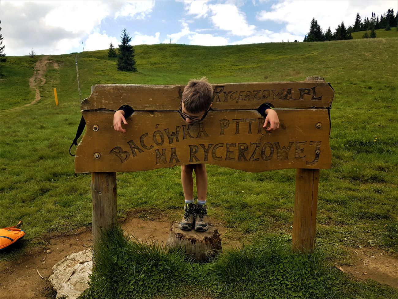
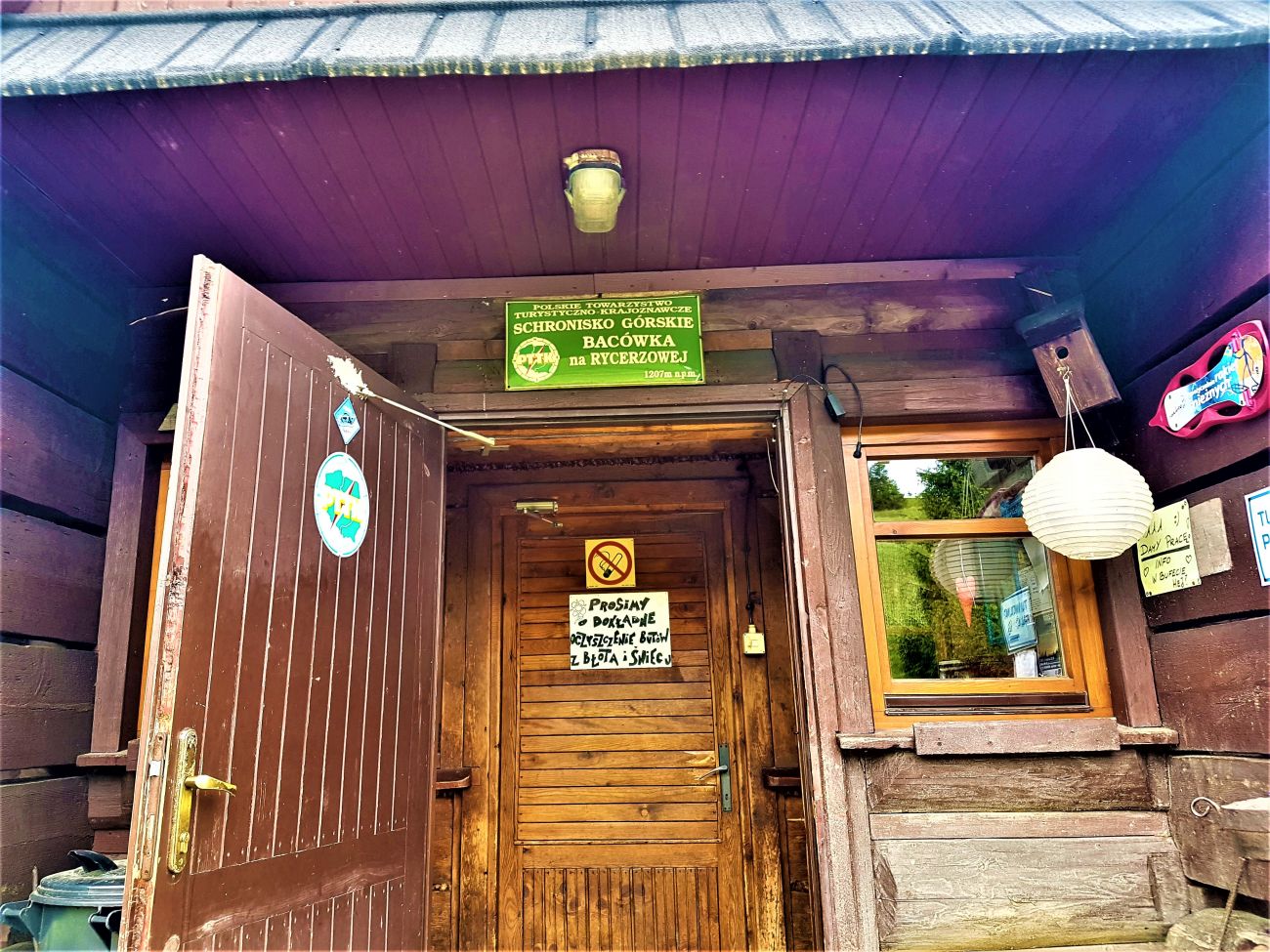
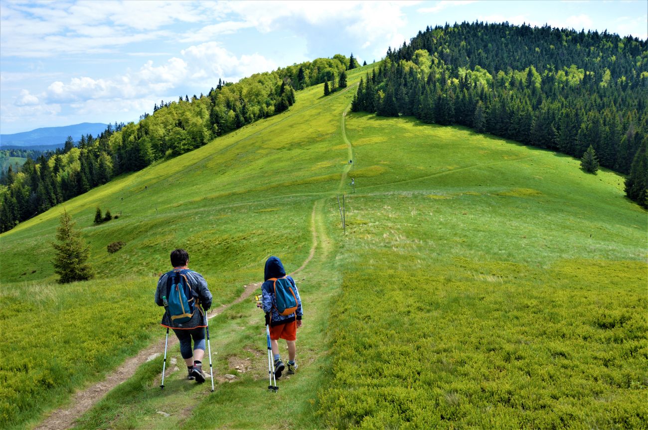
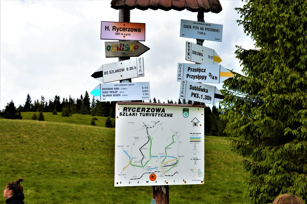
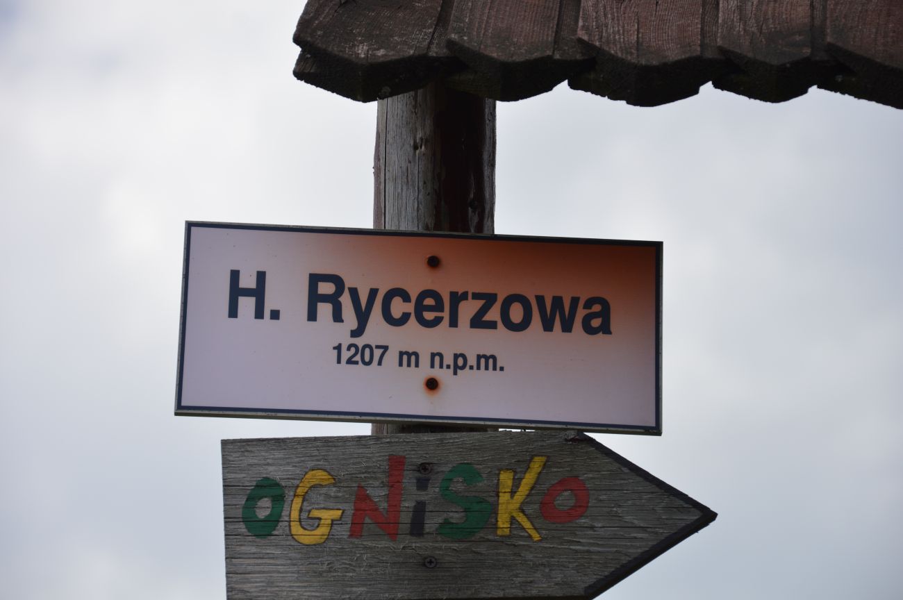
THE GREAT KNIGHT – PTTK SHELTER (1226M.N.P.M.)
The peak is located in the Beskid Żywiecki, belonging to the Wielka Racha Group (on the Slovak side they are Kysucké Beskydy). The Great European Watershed runs through the summit (between the catchment area of the Baltic Sea and the Black Sea) and the Polish-Slovak border.
Wielka Rycerzowa is a fugitive place for the side ridge, which by Mała Rycerzowa, A drill rod, Kotarz and Muńcuł runs through the Soła valley, up to Ujsół. Entirely located in Poland.
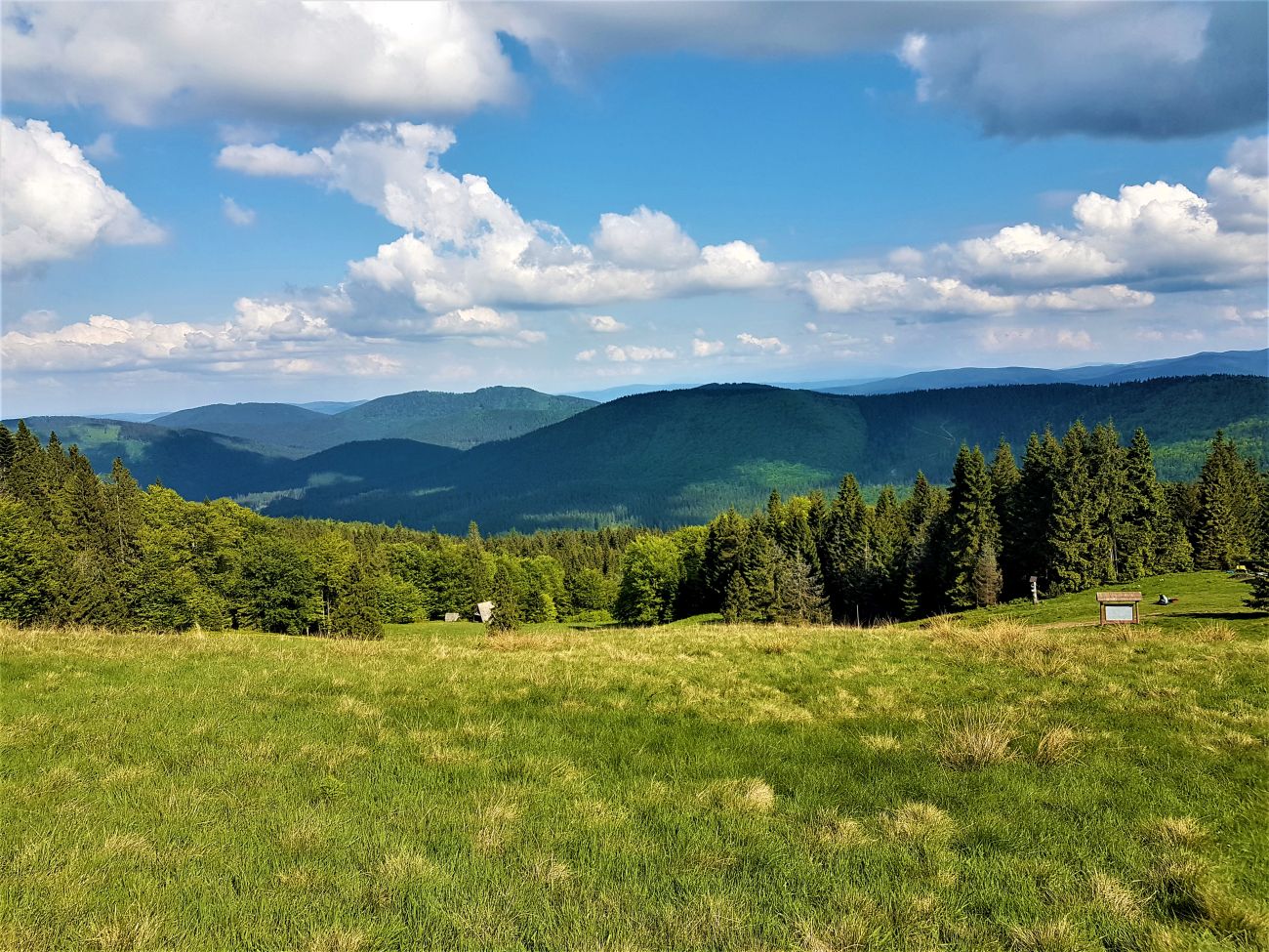
From the top, through fragmentary views, we can observe the panorama of Wielka Racha, a hamlet in Rycerka Górna and some peaks of Mala Fatra with good visibility.
We can admire the best views from Hala Rycerzowa, min. - Beskid Śląski is visible, Lipowska, and even the Babia Góra range.
The name of this peak comes from the name of the village of Rycerka (currently Lower and Upper), which used to be most likely a knight's property.
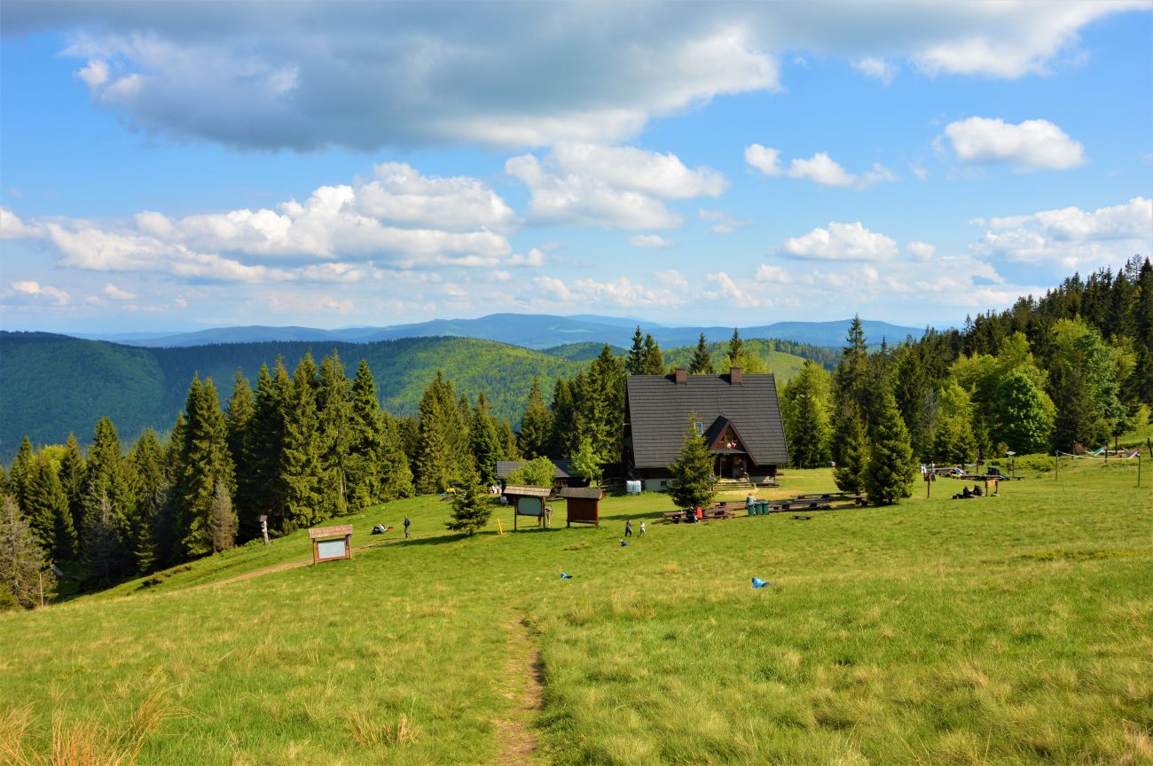
Under the peaks of Rycerzowa there is a real one, mountain shelter PTTK. Pleasant, interesting starting route 🙂
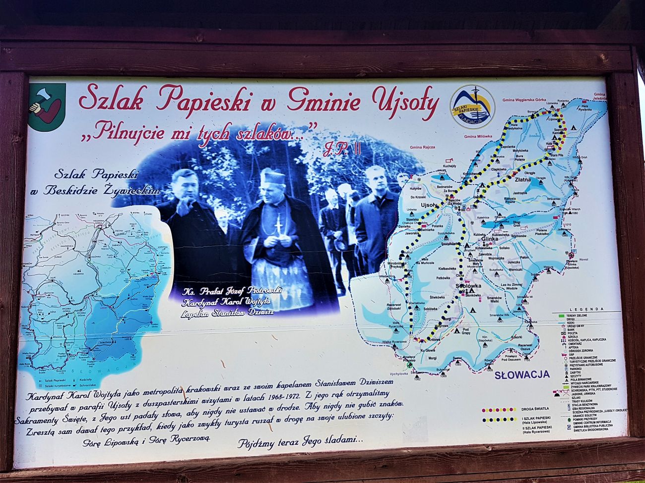
Route variants:
![]() from Rycerka - through Mładą Hora - to Bacówka in Rycerzowa. Average time of transition 4 h,
from Rycerka - through Mładą Hora - to Bacówka in Rycerzowa. Average time of transition 4 h,
![]() from Soblówka to Bacówka in Rycerzowa. Average time of transition 1,5 h,
from Soblówka to Bacówka in Rycerzowa. Average time of transition 1,5 h,
![]() from Soblówka to Bacówka in Rycerzowa. Average time of transition 1,5 h,
from Soblówka to Bacówka in Rycerzowa. Average time of transition 1,5 h,
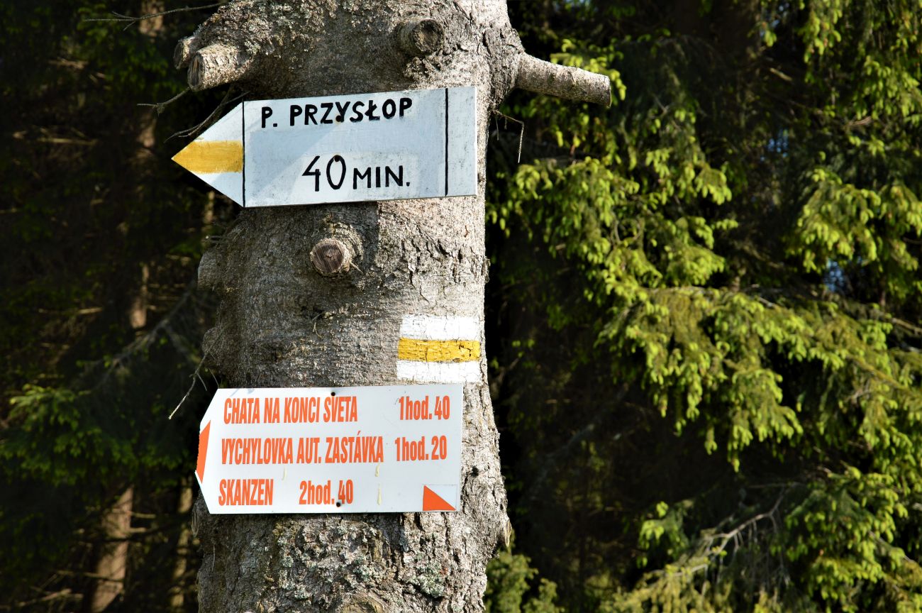
![]() from Soblówka (VFD) - through Przysłop - then the yellow one - to Bacówka on Rycerzowa. Average time of transition 2,5 h
from Soblówka (VFD) - through Przysłop - then the yellow one - to Bacówka on Rycerzowa. Average time of transition 2,5 h
![]() from Ujsoł (VFD) - via Muńcuł - to Bacówka in Rycerzowa. Average time of transition 3 h
from Ujsoł (VFD) - via Muńcuł - to Bacówka in Rycerzowa. Average time of transition 3 h
![]() from Glinka (VFD). Average time of transition 2,5 h
from Glinka (VFD). Average time of transition 2,5 h
Access to all places from the Zacisze Hotel is about 1 hour by car.


HEAT MOUNTAIN – TRIP BY CAR - ON FOOT (761M.N.P.M)
The peak in Beskid Mały. Its western slopes descend to the Międzybrodzkie Lake, south-east to the Isepnica stream valley.
One of the largest pumped storage power plants in the world, on which there is an artificial water reservoir, able to contain 2,5 million m³ of water, to which he pumps water from the located fr 440 below the lake. The water falls into the interior of Góra Żar and drives the turbines of the power plant. You can reach the top of the mountain by a special funicular railway from Międzybrodzie Żywieckie, which was built on the tracks of the former glider lift.
Length of the route: 1 334 m
Bottom station level: 454 m.n.p.m
Top station level: 785 m.n.p.m
There is also an asphalt road and two hiking trails to the top.
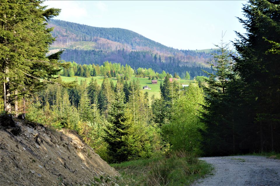
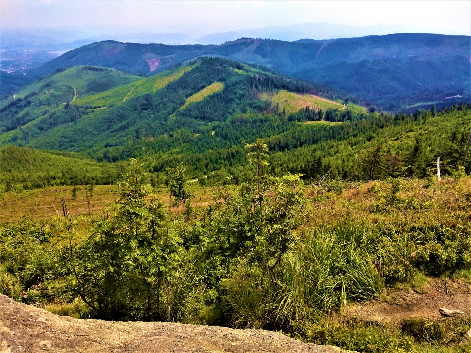
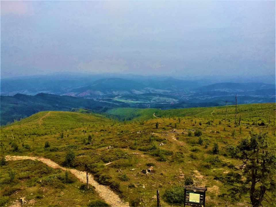
Góra Żar is a beautiful view point, where we can admire the panorama of the Żywiec Valley, Żywieckie Lakes and the peaks of the Żywiec and Silesian Beskids.
At the foot of the mountain, St. 1936 In the year, a glider airfield was established. There is a Mountain Gliding School on its premises and paragliding is also practiced (you can use these services yourself and buy a flight – advance booking required :))
There are additional attractions at the Summit: rope park, restaurants, fast downhill scooters, toboggan run and in winter a ski lift.
Directions and routes:
Access from the hotel to Międzybrodzie Żywiecki takes approx 30 min (by car)
On the way, we can stop at the dam in Tresna (viewpoint)
![]() Heat (parking) - asphalt road - Isepnicka Pass - Kiczera slopes - Żar (reservoir). Time of transition: 2, 45h
Heat (parking) - asphalt road - Isepnicka Pass - Kiczera slopes - Żar (reservoir). Time of transition: 2, 45h
From the parking lot to the top, we can also go by the aforementioned cable car
![]() The Little Beskid Trail in the section: The Porąbka Dam - Żar (reservoir) - Kiczera - Isepnicka Pass - Cisowa Grapa - Wielka Cisowa Grapa - Cisowy Przysłop - Kocierz - Szeroka Pass - Beskid - Błasiakówka - Kocierska Pass. Time of transition: 4,05 h, ↓ 3,30 h
The Little Beskid Trail in the section: The Porąbka Dam - Żar (reservoir) - Kiczera - Isepnicka Pass - Cisowa Grapa - Wielka Cisowa Grapa - Cisowy Przysłop - Kocierz - Szeroka Pass - Beskid - Błasiakówka - Kocierska Pass. Time of transition: 4,05 h, ↓ 3,30 h

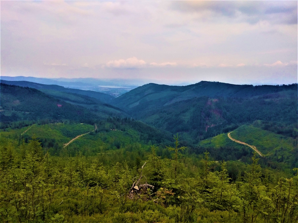
BANGLE (1257m.n.p.m.) -> MALINOWSKA ROCK (1152m.n.p.m.) -> BARANIA GÓRA (1220m.n.p.m.)
Skrzyczne and Barania Góra are the two highest peaks in the Silesian Beskids. Walking along the back, connecting two vertices, we will see one of the most beautiful landscapes in these areas.
We can start the route from the Zacisze Hotel, we have to get to Szczyrk, from where we will set off to Skrzyczne. (reaching Szczyrk by car - approx. 40min)
Skrzyczne rises in the north-eastern part of the Silesian Beskids, in the side arm of the Barania Góra range, branching off the main trunk of the range in Malinowska Skała. Shoulder it, which actually forms the massif of Skrzyczne and Mały Skrzyczne, separates the valley of the upper Żylica river from the Żywiec Valley.
At the top of Skrzyczne, there is the village of 1933 year, the PTTK shelter and the most characteristic facility which is 87 meters, white and red RTV transmitter visible from many kilometers. One of the few broadcasting facilities in Poland located at such a high altitude.
There is also a children's pool, climbing wall, shooting range (bow, windbreaker) and the pitch. You can get there by a two-section chairlift from Szczyrk.
Proposed variants of the route:
Proposed variants of the route
- The beginning of the route: Szczyrk ul. Hunting (cableway of the Central Sports Center)
Entry: chairlift - The beginning of the route: Szczyrk ul. Beskidzka / Myśliwska / Górska (at the Old Tavern)
Entry: trail 1 h 30 min + trail 45 min
Once we rest, we will admire the views, we continue towards Barania Góra.
We walk down the ridge towards Mały Skrzyczne, in the "open" area
Then, more to the south, a pass surrounded by clearings.
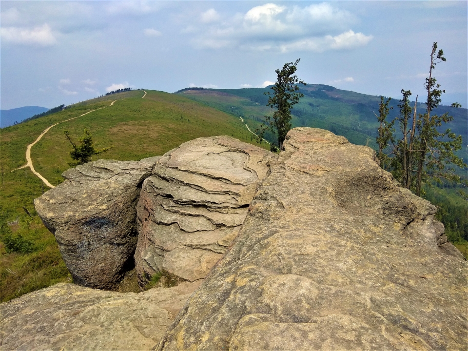
Following the trail, we come to Malinowa Skała. From Skrzyczne it takes about 1 hour.
Several dozen meters behind the rocks, the red trail turns right through Malinów to the Salmopolska Pass.
The green signs lead to the pass between Malinowska Skała and Zielony Mound. Cross the trails in the saddle of the pass, on the right side there is a blue one, the connecting trail from Malinów, while left, the yellow trail to Lipowa turns.
A longer descent is now following, sandy road. We can admire the vast panorama of Skrzyczne, Magurka Wiślana and Barania Góra.
Before climbing a slight hill – called Gawlasi (1076m), on the right side comes the yellow trail from the Vistula through Cieńków.
There is another approach to Magurka Wiślana ahead of us. After reaching the summit, we will meet the trail going down, where it joins the red trail from Węgierska Górka.
The climb to Barania Góra is quite steep and requires some effort. From Magurka Wiślana it will take us approx 1 h, but it is definitely worth 😊
The return route depends on us or on the means of transport, with which we are moving.
We can go back the same route, choose a further hike or go down from Barania Góra to the Zacisze Hotel.
We then refer you to our route Hotel Zacisze <-> Barania Góra.
 |
 |
 |
 |


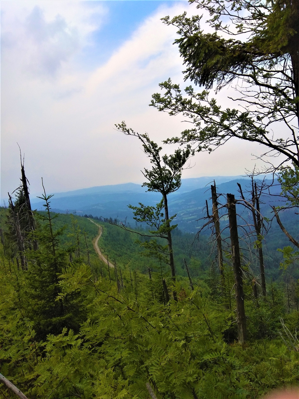

RAMANIA MOUNTAIN AND POLANA PRZEDSŁOP (1 220 m.n.p.m)

A peak in the south-eastern part of the Silesian Beskids, second (around Skrzyczne) in terms of height, the peak of this range. At the same time, it is the highest peak of the Polish part of Cieszyn Silesia and Polish Upper Silesia.
The mountain lies on the border of the counties of Cieszyn and Żywiec. The summit is located in the city of Wisła.
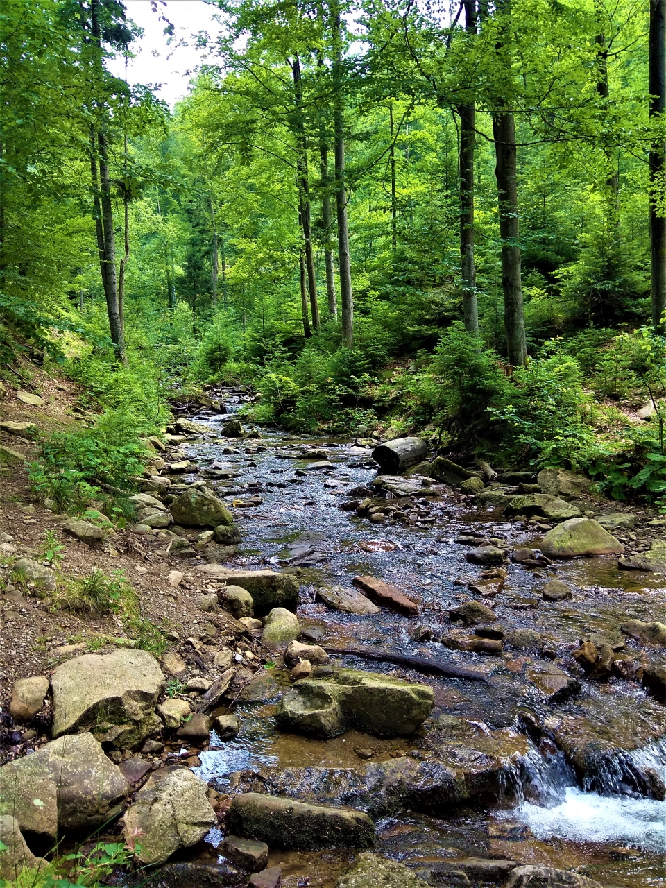
On the western slopes, the spring area of the Vistula: there are source streams flowing out (White and Black Wisełka) - the spring area is a protected area. The slopes are covered with fir and beech forests with an admixture of ash trees, sycamore and spruce trees; sites of artificially introduced limbs and mountain pine.
 |
 |
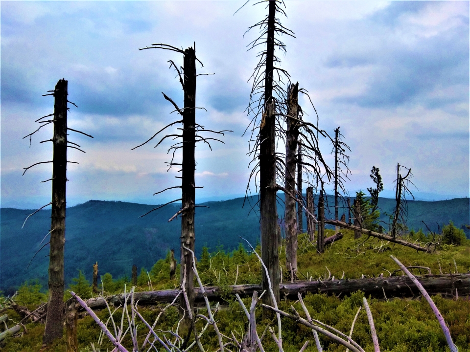
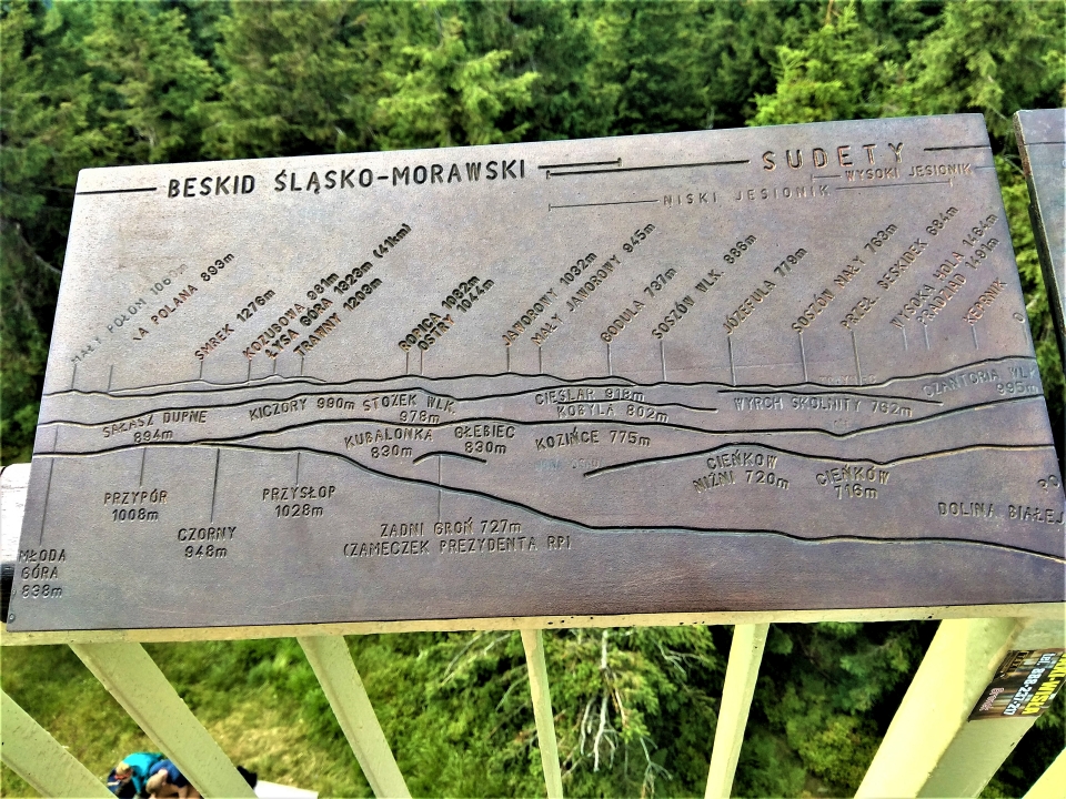
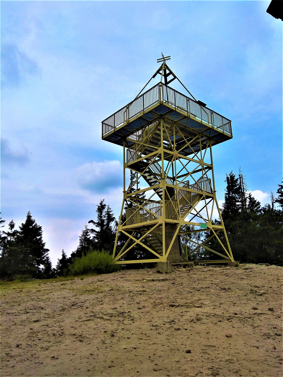
Barania Góra - is an excellent vantage point. In addition, at the top there is a generally accessible one, steel lookout tower, offering a panorama of the mountains of three countries: Polish, Czech Republic and Slovakia. The view from it includes: Silesian Beskids, Little Beskids, Makowski Beskids, Beskid Żywiecki with Babia Góra, Tatras, Choczańskie Mountains, Mala Fatra, The Strażowskie Mountains, Jaworniki and the Silesian-Moravian Beskids, and with particularly good visibility, even the Jeseníky Mountains, already belonging to the Sudetes.
Just below the top, in the Przysłop clearing under Barania Góra there is a PTTK shelter, popular among tourists. It was launched in a year 1925, and the present building was built in 1973 – 1979 in place of the old one, wooden, transferred in 1985 r. to the center of the Vistula. Next to the shelter, there is also the PTTK Mountain Tourism Culture Center, in which the collections are presented, among others. on the history of tourism in the Silesian Beskids.

Recommended variants of the road to Barania Góra
- Length of the entire route and time of walking: 24,91 km / 7 h 10 min
The beginning of the route : Cesarski Street towards the Fort “Waligóra” (400 m from the hotel to the left)
End of the tour: Hotel “Retreat”
Entry: trail ![]() 4 h 35 min
4 h 35 min
Descent: trail ![]() ( 1 h 05 min) + trail
( 1 h 05 min) + trail ![]() (2 h 20 min)
(2 h 20 min)
- Length of the entire route and time of walking: 17,43 km / 5 h
(access to the town of Kamesznica)
The beginning of the route : Kamesznica PKS
End of the tour: Kamesznica Górna
Entry: trail ![]() 3 h
3 h
Descent: trail ![]() //
//![]() /
/ ![]() (30 min PTTK shelter on Przyslop ) + trail/
(30 min PTTK shelter on Przyslop ) + trail/![]() /
/ ![]() (30 min) + trail ( 1 h)
(30 min) + trail ( 1 h)![]()